Alfred's Castle, Iron Age hillfort in Ashbury, England
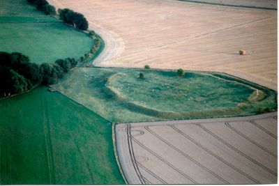
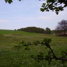
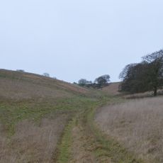
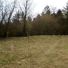
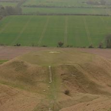
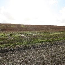
Alfred's Castle is an ancient hilltop fortification in Ashbury featuring a single defensive bank that ranges from 3 to 10 meters in width and rises about 1.5 meters above the surrounding ground. The earthwork displays clear remains of Iron Age construction with well-formed ramparts that shape the landscape.
Excavations between 1998 and 2000 revealed a Romano-British farmhouse built within the prehistoric enclosure during the late first century. This discovery connects the early Iron Age fortification with later Roman settlement activity at the site.
The location holds connections to King Alfred's military campaign against Danish forces in 871, though the exact battle location remains subject to research.
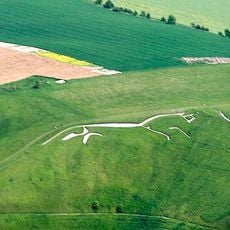
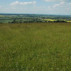
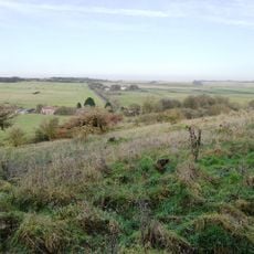
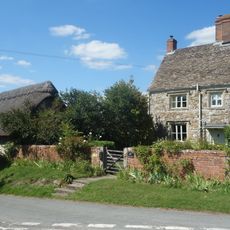
The site is straightforward to visit and can be explored on foot, as it sits on flat ground. The location lies south of the well-known Ridgeway walking path, making it accessible for hikers familiar with the area.
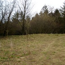
The site contains substantial deposits of sarsen stones, with large collections particularly visible along the track leading to the fortification. These natural stone blocks shape the appearance and reflect the rocky character of this region.
The community of curious travelers
AroundUs brings together thousands of curated places, local tips, and hidden gems, enriched daily by 60,000 contributors worldwide.