Ben Cleuch, Mountain summit in Clackmannanshire, Scotland
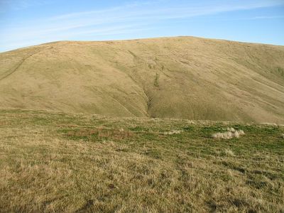
Ben Cleuch is the highest point of the Ochil Hills, a range that rises sharply from Scotland's Central Lowlands, and it sits at 721 meters above sea level. The top opens onto a broad, grassy plateau with an open sky in every direction, flanked on lower slopes by steep burns and grassy ridges.
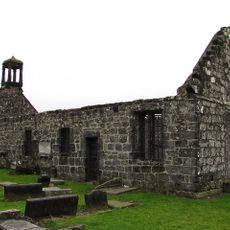
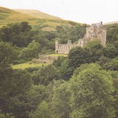
The Ochil Hills were crossed for centuries by drovers moving cattle between the Highlands and the markets of the Lowlands, and Ben Cleuch stood above the main passes they used. In the 19th century the summit was chosen as a meridian origin for Ordnance Survey mapping work covering Perth and Clackmannan, giving it a formal role in Scottish surveying history.
The name Ben Cleuch comes from Scottish Gaelic and is thought to mean something like Mountain of the Ravine, pointing to the steep gullies that cut into the hillsides below the top. Walkers coming up from Tillicoultry pass directly through one of these deep hollows, so the name makes immediate sense as you climb.
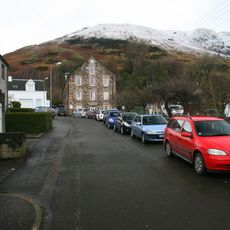
The most common starting point is the car park in Tillicoultry, from where a well-trodden path leads up through the Mill Glen before joining the open ridge. Weather on the upper slopes can change fast, so carrying an extra layer and wearing sturdy footwear makes a real difference.
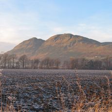
On a clear day, the plateau at the top gives a view that takes in both Edinburgh to the east and Glasgow to the west at the same time, something rarely possible from a single point at this modest height. This happens because the Ochil Hills rise in isolation from the flat ground around them, with nothing tall enough nearby to block the line of sight.
The community of curious travelers
AroundUs brings together thousands of curated places, local tips, and hidden gems, enriched daily by 60,000 contributors worldwide.