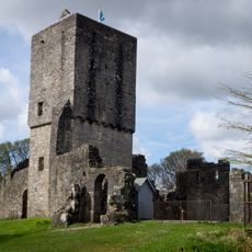
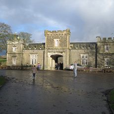
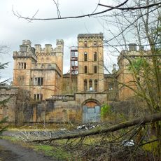
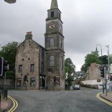
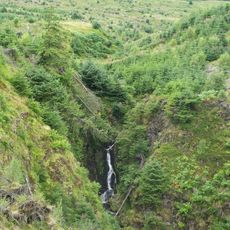
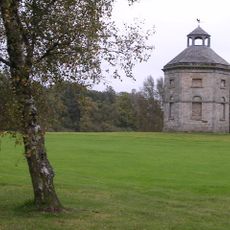
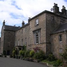
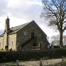
Campsie, civil parish in Scotland
Location: East Dunbartonshire
Part of: 
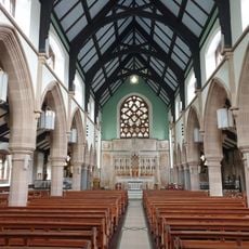
Presbytery of Glasgow
Shares border with: 
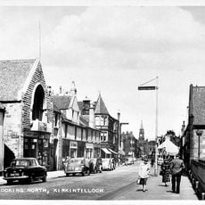
Kilsyth, Kirkintilloch, Cadder, Baldernock, Strathblane, Killearn, Fintry
GPS coordinates: 55.98296,-4.20328
Latest update: April 7, 2025 13:01
Mugdock Castle
7.8 km
Lennoxtown training centre
1.7 km
Mugdock Country Park
7.3 km
Lennox Castle
2.1 km
Bardowie Castle
7 km
Adamslie Park
5.5 km
Strathblane Country House
6.1 km
Auchendavy Roman fort
6.5 km
Auld Aisle Cemetery, Kirkintilloch
6.9 km
Lenzie Moss
7.3 km
St Cyprian's Church, Lenzie
6.8 km
Kirkintilloch Town Hall
5.5 km
Forth And Clyde Canal, Luggie Water Aqueduct
5.8 km
Lenzie Old Parish Church
7.4 km
Campsie High Church
865 m
Old Fintry Parish Church
7.3 km
Old Parish Church of St. Mary
5.4 km
Peggie's Spout
6.1 km
Black Spout
2.7 km
Dougalston golf course dovecote
7.7 km
Cawder House
6.5 km
Kirkintilloch, Cowgate, St Mary's Parish Church
5.7 km
Baldernock Parish Church
6.2 km
Kirkintilloch, Union Street, Holy Family And St Ninian's R.c. Church
5.5 km
Baldernock Mill
6.5 km
Woodhead House
2 km
Craigmaddie Reservoir
7.1 km
Katrine aqueduct
7.4 kmVisited this place? Tap the stars to rate it and share your experience / photos with the community! Try now! You can cancel it anytime.
Discover hidden gems everywhere you go!
From secret cafés to breathtaking viewpoints, skip the crowded tourist spots and find places that match your style. Our app makes it easy with voice search, smart filtering, route optimization, and insider tips from travelers worldwide. Download now for the complete mobile experience.
A unique approach to discovering new places❞
— Le Figaro
All the places worth exploring❞
— France Info
A tailor-made excursion in just a few clicks❞
— 20 Minutes