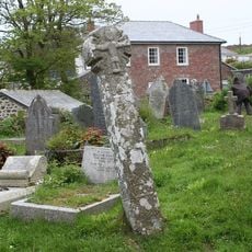
Caer Bran, Bronze Age and Iron Age hillfort in West Cornwall, United Kingdom
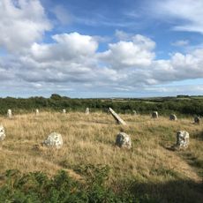
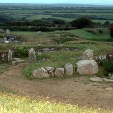
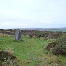
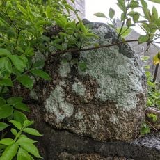
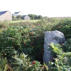
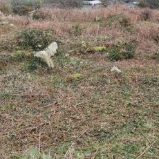
Caer Bran is a prehistoric fortification in West Cornwall featuring a circular enclosure roughly 115 meters across, ringed by substantial defensive banks and deep ditches. The earthworks clearly show the defensive design that once protected this settlement.
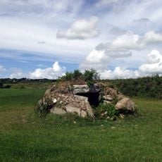
The site began as a Bronze Age settlement marked by three ring cairns before being transformed into an Iron Age fort. Archaeological investigation in the 1990s revealed this layering of two distinct prehistoric periods.
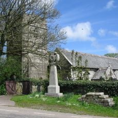
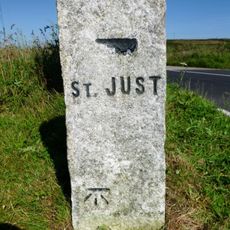
The name combines the Cornish word Caer, meaning fortress, with Bran, possibly referencing the mythological Celtic king Bran the Blessed. This link to Celtic heritage is woven into the landscape itself, which has carried this story for thousands of years.
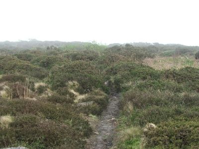
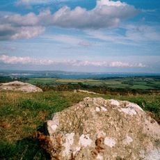
The site is freely accessible, with the Cornwall Heritage Trust taking over management since 2022 to protect it from development. Visitors should expect uneven ground and open fields, as there is minimal infrastructure here.
The Iron Age fortification was never completed, with the western defensive structures noticeably lower than the eastern ones. This asymmetry suggests construction may have been interrupted or the builders pursued a different defensive strategy.
The community of curious travelers
AroundUs brings together thousands of curated places, local tips, and hidden gems, enriched daily by 60,000 contributors worldwide.