Sancreed Beacon, Bronze Age archaeological site in Penwith peninsula, Cornwall, England.
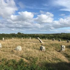
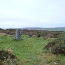
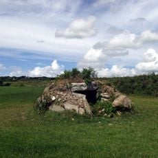
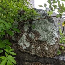
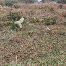
Sancreed Beacon is an archaeological site on the Penwith peninsula in Cornwall, England, with stone burial structures and mounds located on the summit. The remains show where ancient people buried their dead and where they lived during the Bronze Age.
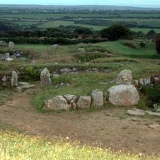
The site was used during the Bronze Age when communities built burial mounds and a settlement on the western slope. The stone construction shows that organized burial practices continued over many generations.
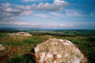
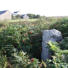
The name comes from a beacon fire that once burned here to warn ships at sea. Visitors today can see why ancient communities chose this elevated position as a place of significance and gathering.
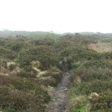
Visitors can follow the marked trail to the summit to explore the Bronze Age structures and enjoy views across the countryside. Wearing sturdy footwear is advisable, and caution is needed in poor weather since the hill is exposed.
The site was reused in medieval times when tin mining operations took place here, leaving marks across the landscape. These layers of activity show how the hill remained important to the region across more than a thousand years.
The community of curious travelers
AroundUs brings together thousands of curated places, local tips, and hidden gems, enriched daily by 60,000 contributors worldwide.