Kirriereoch Hill, Mountain summit in Galloway Hills, Scotland
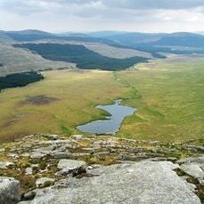
Kirriereoch Hill is a mountain summit in the Galloway Hills of Scotland that rises to approximately 786 meters (2,579 feet). A distinctive boundary wall marks the peak, which is the highest point in South Ayrshire.
The hill was originally classified as both a Corbett and Marilyn, mountain categories based on height and prominence criteria. It lost these classifications in 1984 but regained Marilyn status in 2015 after a new measurement.
The name comes from Scottish Gaelic meaning 'Hill of the Brindled Quarter', showing how traditional language shaped the landscape names here. This connection to local heritage is still visible in how people refer to places in the region.
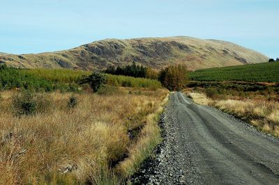
Hikers can find detailed maps and GPX files through the Hill Bagging platform to help plan their route. The OS Landranger map 77 provides the navigation information needed for a safe ascent.
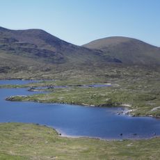
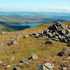
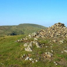
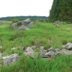
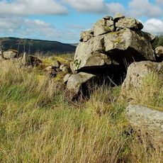
The summit sits within the Range of the Awful Hand, an area marked by three distinct stone cairns. These piles are positioned at different locations across the hilltop.
The community of curious travelers
AroundUs brings together thousands of curated places, local tips, and hidden gems, enriched daily by 60,000 contributors worldwide.