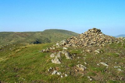
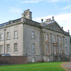
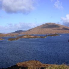
Benyellary, Mountain summit in Dumfries and Galloway, Scotland.
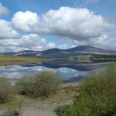
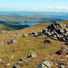
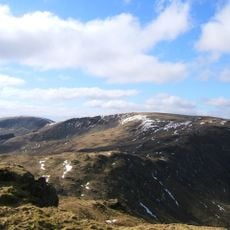
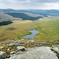
Benyellary is a mountain summit in Dumfries and Galloway with a height of 254 meters and a prominent rock formation located about 8 meters north of the triangulation point. The summit offers clear views across the surrounding landscape of the southwestern Highlands.
The mountain was documented in Scottish geographical surveys since the 1800s and served as an important reference point for measuring elevations across the Dumfries and Galloway region. Its role in mapping history makes it a notable surveying location.
The mountain carries two names, Benyellary in English and Beinn Iolaire in Scottish Gaelic, reflecting the linguistic heritage of the Scottish Highlands. This dual naming shows how local and traditional languages persist across the landscape.
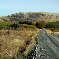
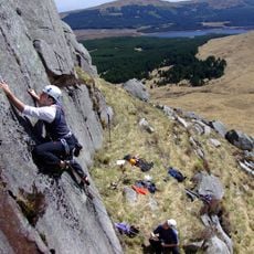
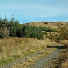
The summit is accessible via several well-marked walking paths that are detailed on Ordnance Survey maps OS50 and OS25 for route planning. It is wise to bring waterproof gear, as conditions on the summit can be variable.
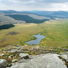
The summit qualifies as a Marilyn Tump with a prominence of 189 meters, placing it within a special category of mountains across the British Isles. This classification means the peak has notable independence from nearby summits despite its moderate height.
The community of curious travelers
AroundUs brings together thousands of curated places, local tips, and hidden gems, enriched daily by 60,000 contributors worldwide.