Merrick, Mountain summit in Dumfries and Galloway, Scotland
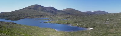
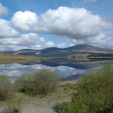
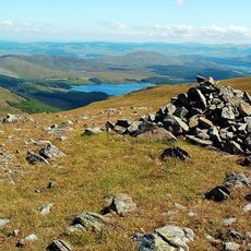
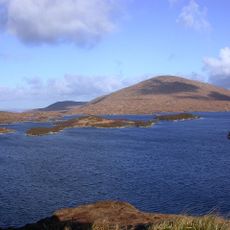
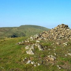
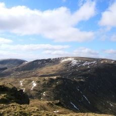
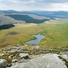
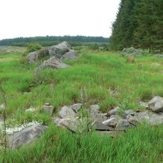
Merrick is a mountain in Dumfries and Galloway that stands at 843 meters as the highest peak in the Southern Uplands. Its broad western ridge is scattered with granite boulders and its rounded summit provides wide views across the surrounding moorland.
The peak takes its name from the Gaelic word 'meurag', reflecting Scotland's link to traditional naming practices for geographical features. This naming connection shows how local languages shaped the identity of the Scottish landscape over centuries.
The mountain stands within the Range of the Awful Hand, where its ridges form part of a distinctive formation resembling fingers when viewed from above.
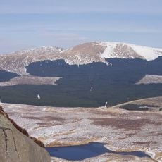
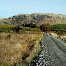
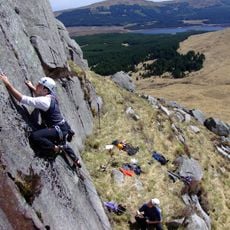
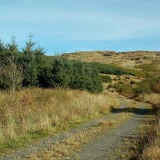
The walking route to the summit starts at Glen Trool car park and covers about 14 kilometers as a round trip that takes most hikers a few hours. The climb is not technically difficult, though weather changes quickly and sturdy footwear is important.
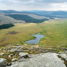
On clear days, visitors can see all the way to the Snowdon mountains in Wales from the summit, a distance of more than 230 kilometers. This is one of the longest lines of sight across the British Isles and makes the location special for photography and landscape viewing.
The community of curious travelers
AroundUs brings together thousands of curated places, local tips, and hidden gems, enriched daily by 60,000 contributors worldwide.