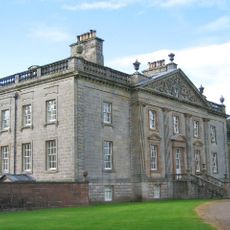
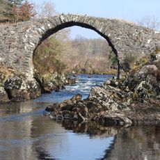
Range of the Awful Hand, Hill chain in Dumfries and Galloway, Scotland.
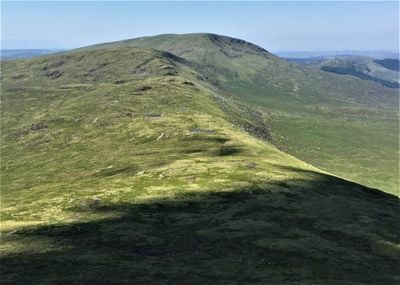
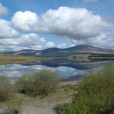
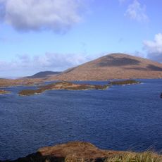
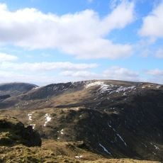
The Range of the Awful Hand is a hill chain in Dumfries and Galloway with eight principal peaks, the highest being Merrick at 843 meters. The mountains rise above boggy valleys and together form a striking mountain formation within the Southern Uplands landscape.
This hill chain received its names from Scottish Gaelic origins, with Merrick translating to finger. The mountains have been a defining feature of the Southern Uplands landscape for centuries.
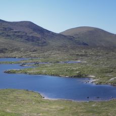
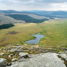
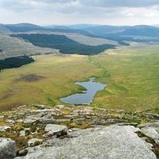
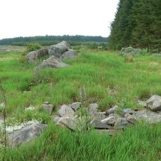
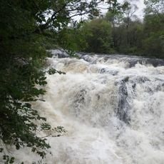
The hills are part of the Silver Flowe-Merrick Kells Biosphere Reserve and support rare dragonfly, hoverfly, and butterfly species. During summer months, visitors can observe these insects throughout their natural habitats.
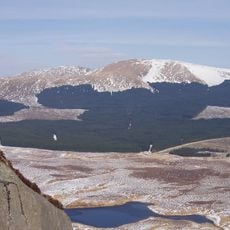
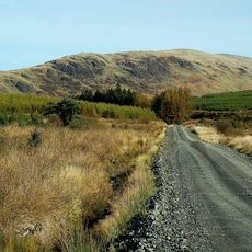
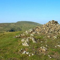
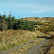
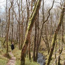
The full circuit of the range takes about 5 to 6 hours and requires solid hiking experience and proper mountain gear. The paths are challenging on boggy terrain, so weather protection is essential.
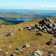
The eight peaks together form a shape resembling fingers of a hand, which gave the range its distinctive name. This natural arrangement is visible from far across the Southern Uplands and makes the hills easy to identify for walkers.
The community of curious travelers
AroundUs brings together thousands of curated places, local tips, and hidden gems, enriched daily by 60,000 contributors worldwide.