Enable Location

We need your location to show you interesting places around you

Discover nearby places

Find interesting locations and hidden gems around you

Precise directions

Get accurate directions and distances to places

Your location is never shared with other users. It's only used when you tap the location button.

Longlands Fell

Log in to your account

Start exploring — it's free

Trusted by 62,472 travelers worldwide

Continue with Google
Continue with Apple
or

We will send you a code to connect

By continuing, you accept our Terms and Conditions and our Privacy Policy

Check your inbox

We've sent a pincode in your inbox. Please enter the code below.

Longlands Fell

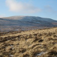
Longlands Fell, Mountain summit in Cumbria, United Kingdom

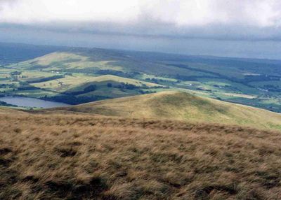
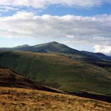
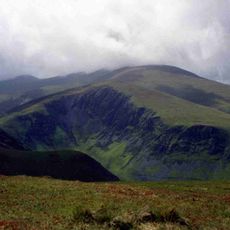
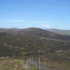
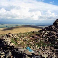
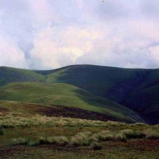
Longlands Fell is a mountain summit in Cumbria rising to 483 meters (1,585 feet) above sea level with smooth, grassy slopes throughout. The fell opens to the north toward the Lake District, revealing open grassland that slopes gently and is easy to navigate on foot.

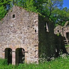
The fell hosted copper mining operations during the 1800s, though the venture did not last long due to limited economic returns. The mining period left behind old mine shafts that can still be seen today.

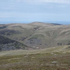
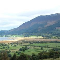
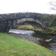
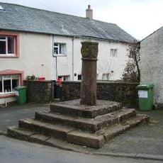
The fell takes its name from Longlands hamlet below, a settlement that has shaped the local landscape for generations. The grassy slopes remain part of the traditional pastoral character of the area, where sheep farming continues to define how the land is used.

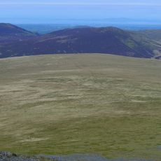
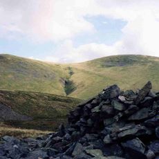
The climb starts from Longlands hamlet and follows an eastern track along the Cumbria Way before ascending the gentle northern ridge to reach the top. Sturdy walking boots and weatherproof clothing are recommended, as the elevation brings wind exposure and weather can change quickly on the fell.

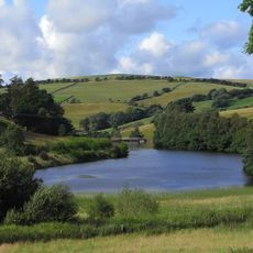
One of the old mining levels was converted into a water reservoir to supply the village of Uldale, linking industrial heritage with modern use. This transformation shows how abandoned structures can be repurposed creatively while preserving a trace of the mountain's past.

The community of curious travelers

AroundUs brings together thousands of curated places, local tips, and hidden gems, enriched daily by 60,000 contributors worldwide.

Start exploring
Location
Elevation above the sea
483 m
GPS coordinates
54.70839,-3.12527
Latest update
December 14, 2025 14:22
« Longlands Fell - Mountain summit in Cumbria, United Kingdom » is provided by Around Us (aroundus.com). Images and texts are derived from Wikimedia project under a Creative Commons license. You are allowed to copy, distribute, and modify copies of this page, under the conditions set by the license, as long as this note is clearly visible.

Discover hidden gems everywhere you go!

From secret cafés to breathtaking viewpoints, skip the crowded tourist spots and find places that match your style. Our app makes it easy with voice search, smart filtering, route optimization, and insider tips from travelers worldwide. Download now for the complete mobile experience.

Around Us App Screenshot

A unique approach to discovering new places

Le Figaro

All the places worth exploring

France Info

A tailor-made excursion in just a few clicks

20 Minutes

Around Us
Travel Guide & Maps
Download

Send to your phone

QR Code
1

Open the camera app on your mobile.

2

Point at the QR code with your camera. A notification will appear.

3

Tap the notification to open the link.