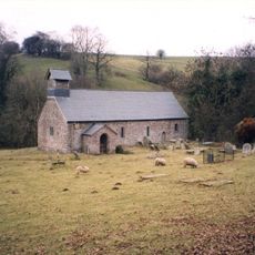
Mynydd Llysiau, Mountain summit in Black Mountains, Wales.
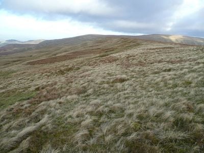
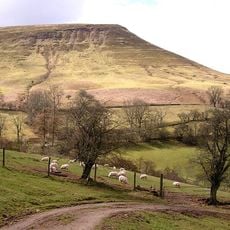
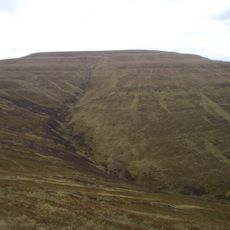
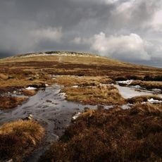
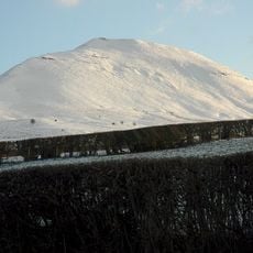
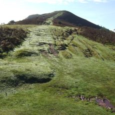
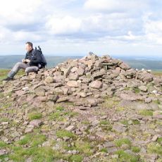
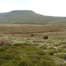
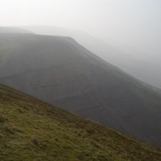
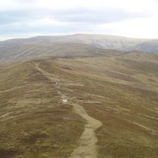
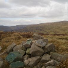
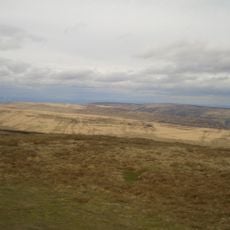
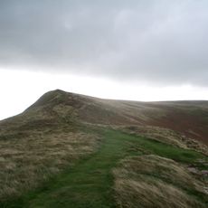
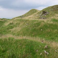
Mynydd Llysiau is a mountain in the Black Mountains that reaches 663 meters (2,175 feet) and features steep eastern faces dropping away sharply. A long grassy ridge leads across the plateau to a stone-marked summit point where the landscape spreads out in all directions.
The mountain earned recognition in British mountaineering classifications as both a Hewitt and Nuttall peak, confirming its standing among significant summits. This classification places it among Wales's notable high points with established importance in climbing traditions.
The Welsh name Mynydd Llysiau reflects the regional linguistic heritage, translating to 'mountain of the fruit' in the traditional Welsh language naming system.
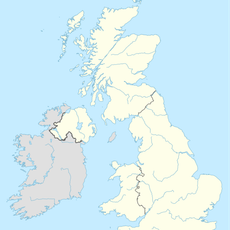
Established trails from the nearby town of Talgarth offer access to the mountain with several starting points to choose from. Using OS Landranger Map 161 or Explorer Map OL13N helps ensure accurate navigation across the ridge and plateau terrain.
This summit acts as a key connection point between two neighboring peaks Waun Fach and Pen Allt-mawr on the mountain chain. Two distinct boundary stones near the southern neighboring summit often go unnoticed by walkers but mark the historic boundaries of the land.
The community of curious travelers
AroundUs brings together thousands of curated places, local tips, and hidden gems, enriched daily by 60,000 contributors worldwide.