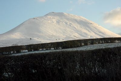
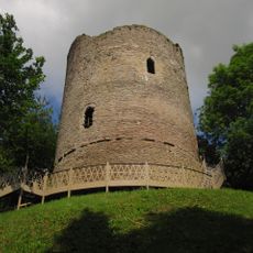
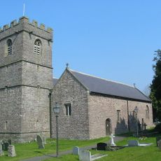
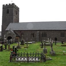
Mynydd Troed, Mountain summit in Powys, United Kingdom
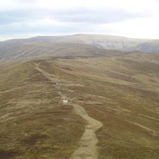
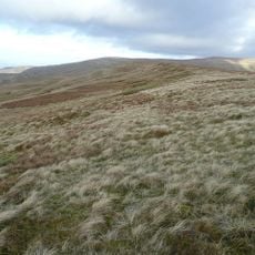
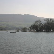
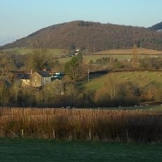
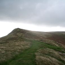
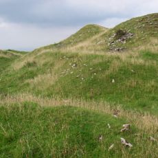
Mynydd Troed is a summit in the Black Mountains region of Powys that rises to approximately 609 meters above sea level. The mountain features steep slopes and open terrain typical of the surrounding Brecon Beacons landscape.
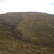
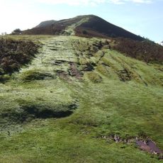
The mountain's slopes bear traces of quarrying that supplied building materials to nearby communities in past centuries. This extractive activity shaped how the landscape appeared for generations.
The name means 'Foot Mountain' in Welsh, referring to the shape of the peak as seen from the Allt Maur ridge. This reflects how people in the region perceived and named their surrounding landscape.
Multiple hiking routes reach the summit, with main paths starting from Pengenffordd on the A479 road or from the minor road at Cwm Sorgwm. Bring weather-resistant clothing and sturdy footwear since the routes cross exposed open slopes.
The mountain displays visible signs of ancient landslides on its slopes, particularly noticeable from the nearby Castell Dinas and Y Grib ridge. These geological features tell the story of natural forces that shaped the landscape over time.
The community of curious travelers
AroundUs brings together thousands of curated places, local tips, and hidden gems, enriched daily by 60,000 contributors worldwide.