Portbury Ashlands, Nature reserve near Portishead, England
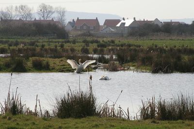
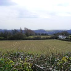
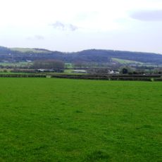
Portbury Ashlands is a wetland reserve on the Severn Estuary with expansive marshes, two large pools, and several smaller ponds that form a rich network of habitats. The site spreads between the dock area and residential zones, linking open grassland with hedgerow corridors that separate different ecological zones.
The site served for around 50 years as a dumping ground for ash and industrial waste from power stations built in the early to mid-1900s. Once disposal operations stopped, the land gradually reverted to natural wetland and became one of the region's most valuable wildlife habitats.
The name comes from the nearby Portbury village and the ash legacy from past industrial use. Birdwatchers today can observe wading birds, ducks, and raptors that pass through on different migration routes each season.
The site can be reached from several entrance points including routes from the marina and residential areas, with observation hides placed at key spots for viewing wildlife. The best time to visit is early morning when birds are most active and visibility is clear.
The site is a crucial resting stop for Arctic migratory birds that gather energy here during autumn months for their long journeys. Additionally, it shelters rare amphibians like great crested newts and water voles that are uncommon elsewhere in England.
The community of curious travelers
AroundUs brings together thousands of curated places, local tips, and hidden gems, enriched daily by 60,000 contributors worldwide.