Chest opened
+${chestReward.xp} XP
Explorer
NOUVEAU ×${chestReward.collectible.quantity}
tapez pour fermer

See the monuments around you in AR Open chests in the app

Around Us is built for your phone — point your camera at the streets and discover the monuments and places around you in augmented reality. Around Us is built for your phone — chests unlock when you walk, explore and capture nearby places.

•

Enable Location

We need your location to show you interesting places around you

Discover nearby places

Find interesting locations and hidden gems around you

Precise directions

Get accurate directions and distances to places

Your location is never shared with other users. It's only used when you tap the location button.

Win Hill

Log in to your account

Start exploring — it's free

Trusted by 94,515 travelers worldwide

Continue with Google
Continue with Apple
or

We will send you a code to connect

By continuing, you accept our Terms and Conditions and our Privacy Policy

Check your inbox

We've sent a pincode in your inbox. Please enter the code below.

Win Hill

Win Hill, Hill in England, United Kingdom

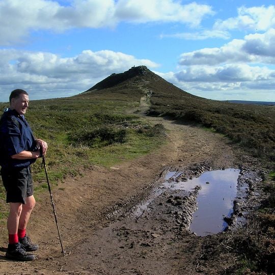
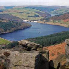
Win Hill is a hill in the Peak District of England, rising to 463 meters (1,519 feet) above sea level. It stands above the Hope Valley and offers wide views over the surrounding moors and reservoirs.

Win Hill is said to have been the site of a battle in the 7th century between the kingdoms of Mercia and Northumbria. Later, the hill was used for grazing and lead mining took place on its slopes.

The name Win Hill may come from the Old English word for 'pasture', a reminder that these slopes were once farmed. Walkers often combine the climb with a visit to the nearby village of Hope, where the hill is a familiar backdrop.

Paths to the top are steep in places and can be muddy after rain, so wear sturdy footwear. The summit is open and exposed, so check the weather before setting out and carry water.

From the top, you can see the Ladybower Reservoir and the Derwent Edge rocks in one sweep. On clear days, the view reaches as far as the outskirts of Sheffield.

The community of curious travelers

AroundUs brings together thousands of curated places, local tips, and hidden gems, enriched daily by 94,515 contributors worldwide.
Start exploring
Location
Elevation above the sea
463 m
GPS coordinates
53.36155,-1.72198
Latest update
November 10, 2026 14:01
Around this place
Ladybower Reservoir
United Kingdom

Ladybower Reservoir

1.1 mi
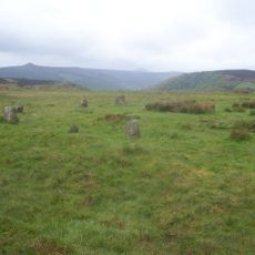
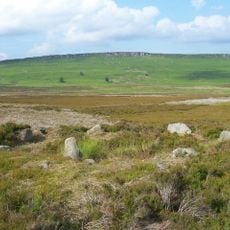
Hordron Edge stone circle
United Kingdom

Hordron Edge stone circle

2.1 mi
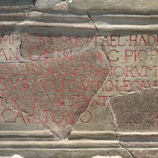
Navio Roman Fort
United Kingdom

Navio Roman Fort

1.5 mi
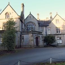
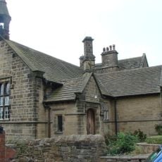
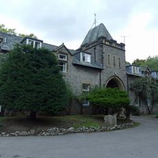
Losehill Hall
United Kingdom

Losehill Hall

2.1 mi
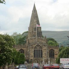
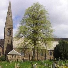
Church of St Peter
United Kingdom

Church of St Peter

1.3 mi
St John the Baptist church
United Kingdom

St John the Baptist church

1.7 mi
Roman Catholic Church of Our Lady of Sorrows and Attached Presbytery
United Kingdom

Roman Catholic Church of Our Lady of Sorrows and Attached Presbytery

1.5 mi
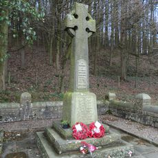
Derwent Woodlands War Memorial
United Kingdom

Derwent Woodlands War Memorial

2.1 mi
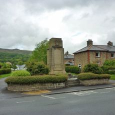
Hope War Memorial
United Kingdom

Hope War Memorial

1.2 mi
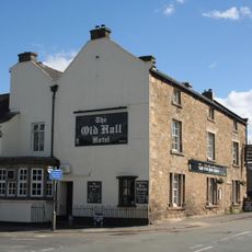
Old Hall Hotel
United Kingdom

Old Hall Hotel

1.2 mi
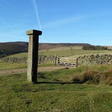
Hope Cross at OS 162 874 approximately 1 mile off Edale Road
United Kingdom

Hope Cross at OS 162 874 approximately 1 mile off Edale Road

2.2 mi
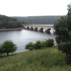
Ashopton Viaduct
United Kingdom

Ashopton Viaduct

1 mi
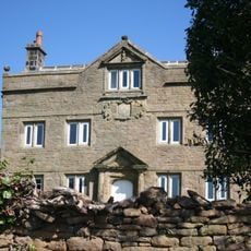
Aston Hall
United Kingdom

Aston Hall

0.7 mi
The Grey Ditch
United Kingdom

The Grey Ditch

2.2 mi
Navio Roman fort and vicus
United Kingdom

Navio Roman fort and vicus

1.5 mi
Edale End Farmhouse and attached barn
United Kingdom

Edale End Farmhouse and attached barn

1.8 mi
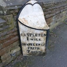
Mile Post at SK 176 834
United Kingdom

Mile Post at SK 176 834

1.2 mi
Mile Post East Of Marston Farm Sk159834
United Kingdom

Mile Post East Of Marston Farm Sk159834

1.9 mi
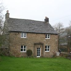
Killhill Farmhouse
United Kingdom

Killhill Farmhouse

1.1 mi
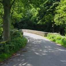
Yorkshire Bridge
United Kingdom

Yorkshire Bridge

0.7 mi
Stable block at Losehill Hall
United Kingdom

Stable block at Losehill Hall

2.2 mi
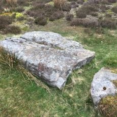
Stone circle, 960m north east of High Lees Farm
United Kingdom

Stone circle, 960m north east of High Lees Farm

2.1 mi
Prehistoric standing stone 1,030m south west of triangulation point on High Neb
United Kingdom

Prehistoric standing stone 1,030m south west of triangulation point on High Neb

2.1 mi
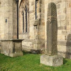
Anglian high cross in the churchyard of St Peter's Church
United Kingdom

Anglian high cross in the churchyard of St Peter's Church

1.3 mi
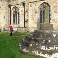
Standing cross in the churchyard of St Peter's Church
United Kingdom

Standing cross in the churchyard of St Peter's Church

1.3 mi
Spring House Farmhouse
United Kingdom

Spring House Farmhouse

1.9 mi
Rectory And Attached Coach House
United Kingdom

Rectory And Attached Coach House

1.7 mi
Pindale Mine engine house and attached chimney
United Kingdom

Pindale Mine engine house and attached chimney

2.1 mi
Show the full map
Reviews
Share your experience

No review yet

Discussions
Start a discussion...

No discussion yet

« Win Hill - Hill in England, United Kingdom » is provided by Around Us (aroundus.com). Images and texts are derived from Wikimedia project under a Creative Commons license. You are allowed to copy, distribute, and modify copies of this page, under the conditions set by the license, as long as this note is clearly visible.

Discover hidden gems everywhere you go!

From secret cafés to breathtaking viewpoints, skip the crowded tourist spots and find places that match your style. Our app makes it easy with voice search, smart filtering, route optimization, and insider tips from travelers worldwide. Download now for the complete mobile experience.
Around Us App Screenshot
❝

A unique approach to discovering new places❞

— Le Figaro

❝

All the places worth exploring❞

— France Info

❝

A tailor-made excursion in just a few clicks❞

— 20 Minutes

Around Us
Travel Guide & Maps
Download

Send to your phone

QR Code
1

Open the camera app on your mobile.

2

Point at the QR code with your camera. A notification will appear.

3

Tap the notification to open the link.