
Milecastle 35, Roman milecastle in Haydon, England.
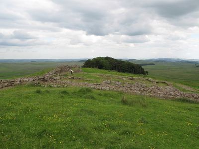
Milecastle 35 measures 19 meters in length and 15.5 meters in width, with stone walls reaching heights of 1.75 meters at certain sections.
The structure underwent initial clearance in the mid-19th century, followed by extensive archaeological investigations between 1908 and 1911, with additional excavations from 1982 to 1987.
The site contains a Type II gateway at the southeast corner and includes remnants of a stone oven that indicates sustained Roman occupation through multiple periods.
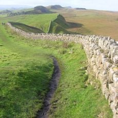
The location connects to the Hadrian's Wall Path network, allowing visitors to explore the archaeological site while walking through the historical landscape.
Archaeological evidence reveals that the milecastle transformed into an agricultural settlement during its later occupation phases, with modifications to its original military structure.
Location: Haydon
Part of: Hadrian's Wall, Hadrian's Wall and associated features between the boundary east of turret 34a and the field boundary west of milecastle 36 in wall miles 34, 35 and 36, Hadrians Wall, Milecastles and Turrets
GPS coordinates: 55.02581,-2.30664
Latest update: March 6, 2025 04:09
Hadrian's Wall
920 m
Sycamore Gap Tree
5 km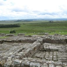
Housesteads Roman Fort
2.1 km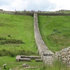
Knag Burn Gateway
1.9 km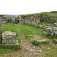
Milecastle 37
2.5 km
Milecastle 38
3.8 km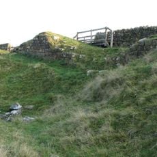
Milecastle 33
2.6 km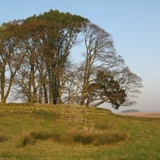
Milecastle 34
1.3 km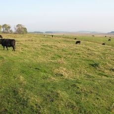
Milecastle 32
4.1 km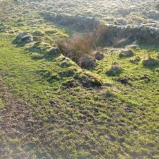
Housesteads Mithraeum
2.2 km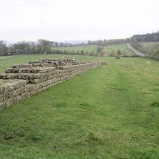
Hadrians Wall, Milecastles and Turrets
1.4 km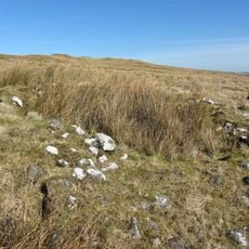
Round cairn, 120m ENE of Kingscrag Gate
1.1 km
Uninscribed Roman milestone at Codley Gate (Vindolanda)
5 km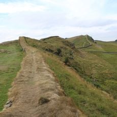
Housesteads fort, section of Wall and vallum between the field boundary west of milecastle 36 and the field boundary west of turret 37a in wall miles 36 and 37
2.3 km
Roman quarry inscription on Queen's Crags, 680m south east of East Hotbank
1.1 km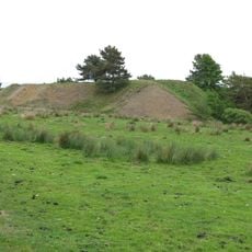
Langley Barony Mines, Haydon Bridge
4.6 km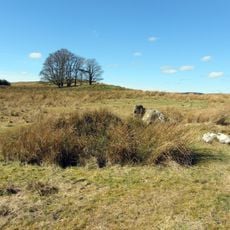
Stone circle, 380m east of King's Crags
1.1 km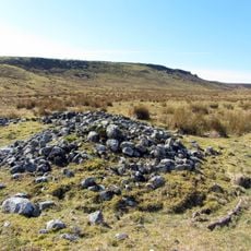
Round cairn, 120m south of King's Crags
1.1 km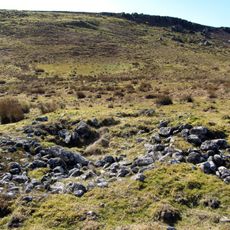
Round cairn, 150m east of Kingscrag Gate
1.1 km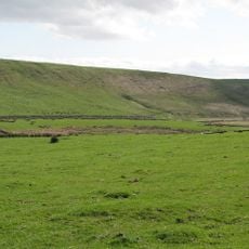
Stone circle, defended settlement, Romano-British farmstead and field system, Roman camp and group of shielings immediately sout
3 km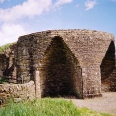
Crindledykes Lime Kiln
4 km
Lime Kiln 800 Metres West Of Town Shields Farmhouse
1 km
East Stonefields Farmhouse And Attached Farmbuildings And Walls
2.8 km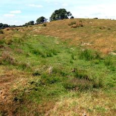
Bardon Mill
2.8 km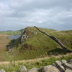
Hadrian's Wall and associated features between the field boundary west of turret 37a and the road to Steel Rigg car park in wall
4.7 km
Round cairn, 150m ESE of Kingscrag Gate
1.1 km
Milestone, E of Housesteads Roman Fort; at entrance to "Beggarbog"
1.7 km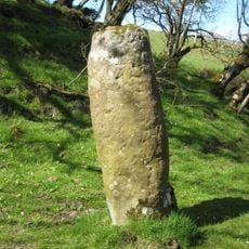
Roman milestone, E of Chesterholm Fort
5 kmReviews
Visited this place? Tap the stars to rate it and share your experience / photos with the community! Try now! You can cancel it anytime.
Discover hidden gems everywhere you go!
From secret cafés to breathtaking viewpoints, skip the crowded tourist spots and find places that match your style. Our app makes it easy with voice search, smart filtering, route optimization, and insider tips from travelers worldwide. Download now for the complete mobile experience.

A unique approach to discovering new places❞
— Le Figaro
All the places worth exploring❞
— France Info
A tailor-made excursion in just a few clicks❞
— 20 Minutes