
66, High Street, building in Steyning, Horsham, West Sussex, UK
Location: Steyning
Address: 66, High Street, Steyning, Horsham, West Sussex, BN44
GPS coordinates: 50.88886,-0.32959
Latest update: April 8, 2025 00:55
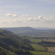
South Downs National Park
3.6 km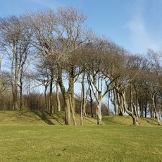
Chanctonbury Ring
3.7 km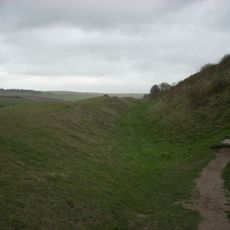
Cissbury Ring
4.7 km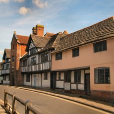
Steyning Grammar School
494 m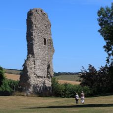
Bramber Castle
1.2 km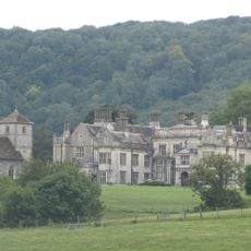
Wiston House
2.4 km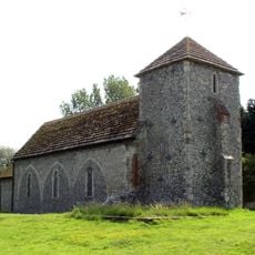
St Botolph's Church, Botolphs
2.7 km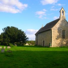
All Saints Church, Buncton
4.1 km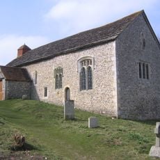
Coombes Church
3.4 km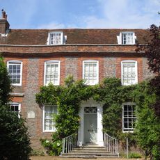
Chantry House
140 m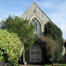
Steyning Methodist Church
253 m
Jarvis Hall, Steyning
366 m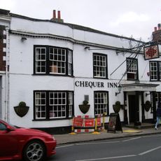
Chequer Inn
41 m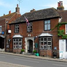
38, High Street
112 m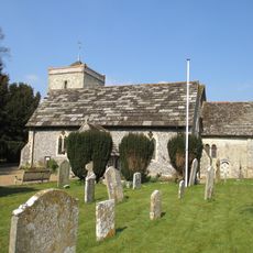
The Parish Church of St Peter
1.7 km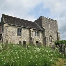
The Parish Church of St Nicholas
1.2 km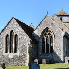
The Parish Church of St Mary
2.3 km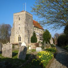
The Parish Church of St Andrew
349 m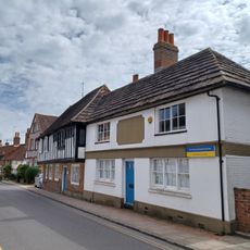
11 Church Street
163 m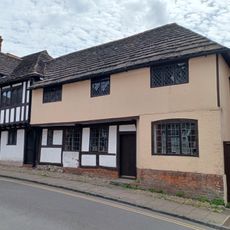
7, Church Street
160 m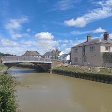
The Bridge Inn
1.8 km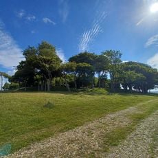
Romano-Celtic temples in Chanctonbury Ring
3.7 km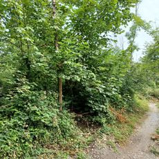
Cross dyke 760m WNW of Pepperscoombe
1.6 km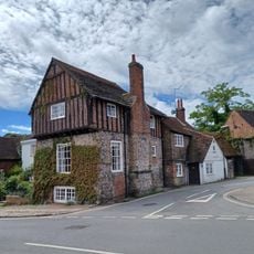
The Stone House
153 m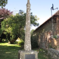
Upper Beeding War Memorial
1.7 km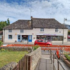
120 And 122, High Street
213 m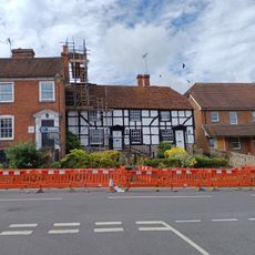
95 And 97, High Street
183 m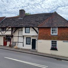
1 3 and 5, Church Street
161 mReviews
Visited this place? Tap the stars to rate it and share your experience / photos with the community! Try now! You can cancel it anytime.
Discover hidden gems everywhere you go!
From secret cafés to breathtaking viewpoints, skip the crowded tourist spots and find places that match your style. Our app makes it easy with voice search, smart filtering, route optimization, and insider tips from travelers worldwide. Download now for the complete mobile experience.

A unique approach to discovering new places❞
— Le Figaro
All the places worth exploring❞
— France Info
A tailor-made excursion in just a few clicks❞
— 20 Minutes