
Dury Falls, architectural structure in Havering, Greater London, UK
Location: London Borough of Havering
GPS coordinates: 51.56029,0.23017
Latest update: March 21, 2025 10:28
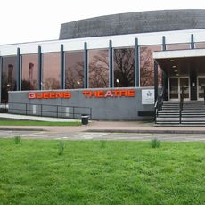
Queen's Theatre
928 m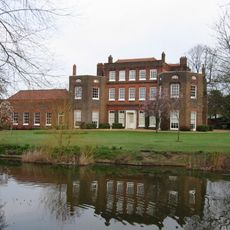
Langtons
1.1 km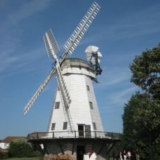
Upminster Windmill
1.1 km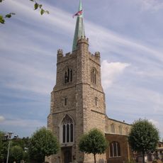
St Andrew's Church, Hornchurch
290 m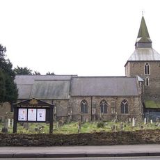
Church of St Laurence, Upminster
1.4 km
The Rom
2.9 km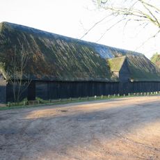
Upminster Tithe Barn Museum of Nostalgia
2 km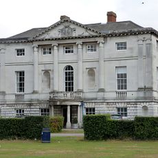
Hare Hall
3.1 km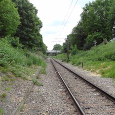
Hornchurch Cutting
371 m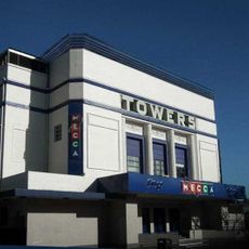
Towers Cinema
1.1 km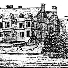
Cranham Hall
2.7 km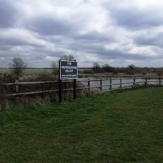
Ingrebourne Valley
2.8 km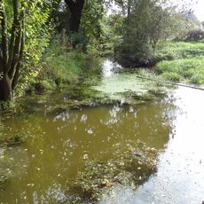
Cranham Marsh
2.4 km
RAF Hornchurch Heritage Centre
1.9 km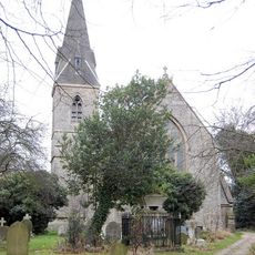
Church of All Saints, Cranham
2.6 km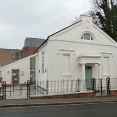
Upminster Old Chapel
997 m
The King's Head Inn
559 m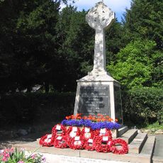
Upminster War Memorial
1.4 km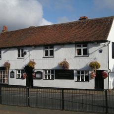
197, High Street
526 m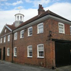
Stable Block At Langtons
1.1 km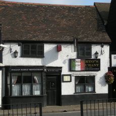
195, High Street
539 m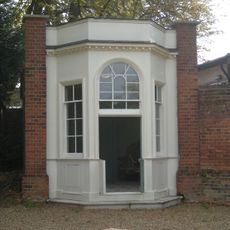
Gazebo At Langtons
1 km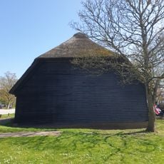
Medieval grange barn, 228m south-east of Upminster Court
2 km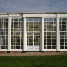
Orangery At Langtons
1.1 km
High House Farmhouse
2.5 km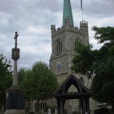
Hornchurch War Memorial
294 m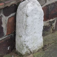
Milestone, Corbets Tey Road
3.2 km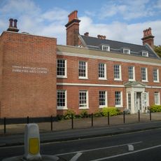
Fairykytes (Havering Art Centre)
981 mReviews
Visited this place? Tap the stars to rate it and share your experience / photos with the community! Try now! You can cancel it anytime.
Discover hidden gems everywhere you go!
From secret cafés to breathtaking viewpoints, skip the crowded tourist spots and find places that match your style. Our app makes it easy with voice search, smart filtering, route optimization, and insider tips from travelers worldwide. Download now for the complete mobile experience.

A unique approach to discovering new places❞
— Le Figaro
All the places worth exploring❞
— France Info
A tailor-made excursion in just a few clicks❞
— 20 Minutes