Mentone, town in Alabama
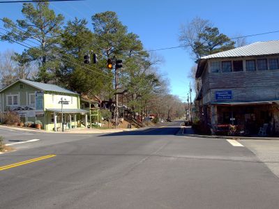
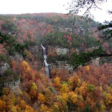
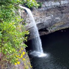
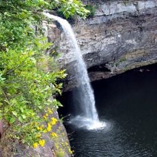
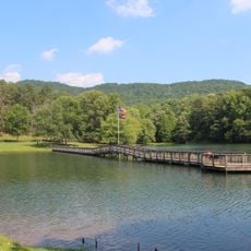
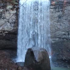
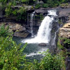
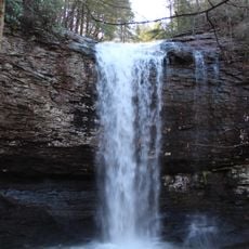
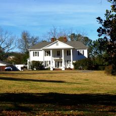
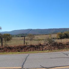
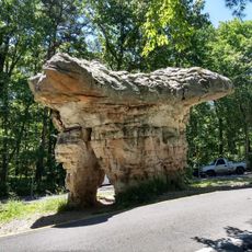
Mentone is a small village perched on top of Lookout Mountain in DeKalb County, Alabama, sitting at a high elevation with expansive views of the surrounding valley. The town is surrounded by natural beauty, including a waterfall over 100 feet tall and numerous homes and cottages built along the mountainside.
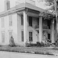
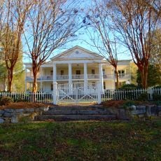
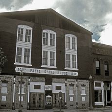
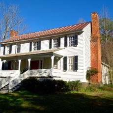
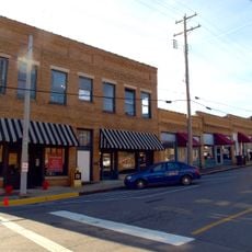
The village was established generations ago as a refuge where people could escape city heat and enjoy cooler mountain temperatures, often 8 to 12 degrees lower than nearby cities. Over time it became a popular summer destination, with early 20th century buildings like the Mentone Inn from the 1920s still standing today.
The name Mentone may derive from an Italian word for mint, reflecting a connection to local nature. Today, historic sites like a Spanish oak tree tied to Cherokee history remind visitors how this place has long served as a refuge for those seeking peace and connection to the land.
The town is conveniently located near major highways and easily accessible from nearby cities like Chattanooga, Gadsden, and Birmingham. Visitors can stroll along newly added sidewalks through the town center and find local shops, restaurants, and accommodations including rental cabins and inns.
The Hanging Cottage is a remarkably cantilevered house built at the cliff edge that appears to hang suspended in air. Despite its seemingly precarious perch on the mountainside, it remains safely anchored and draws visitors intrigued by its daring architectural feat.
The community of curious travelers
AroundUs brings together thousands of curated places, local tips, and hidden gems, enriched daily by 60,000 contributors worldwide.