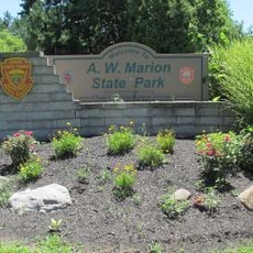
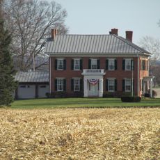
Pickaway County, County seat with agricultural heritage in Ohio, United States
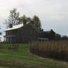
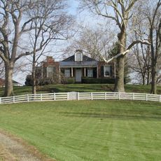
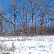
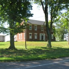
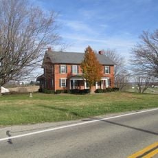
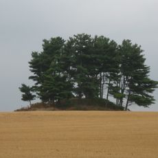
Pickaway County spreads across fertile lands along the Scioto River with a mix of farms, residential neighborhoods, and industrial areas. The landscape combines rural sections with town centers where Circleville serves as the administrative hub.
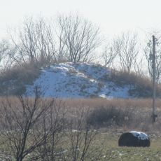
The county was founded in 1810 when Circleville was chosen as the seat, influenced by the nearby earthworks left by the ancient Hopewell culture. This decision reflected the early settlers' interest in the area's archaeological sites.
The annual Pumpkin Show each October gathers farmers, craftspeople, and residents to celebrate the area's farming roots and community bonds.
The area is accessible year-round with roads connecting farms, towns, and industrial sites throughout the region. October brings the biggest gatherings, so plan accordingly if you want to experience the seasonal festivities.
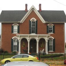
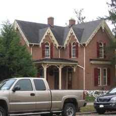
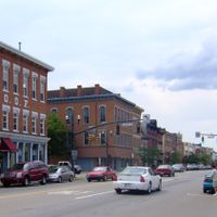
Circleville was originally laid out in a perfect circle, but was completely rearranged into a grid pattern during the 1850s, transforming the town's entire layout. This unusual planning decision makes it stand out from other cities in the region.
The community of curious travelers
AroundUs brings together thousands of curated places, local tips, and hidden gems, enriched daily by 60,000 contributors worldwide.