Jefferson County, County in Kansas, United States.
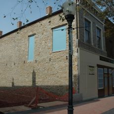
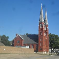
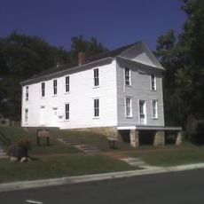
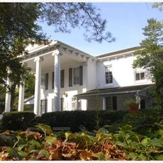
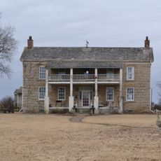
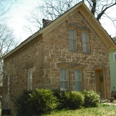
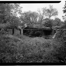
Jefferson County is a rural county in Kansas with its administrative center in Oskaloosa, covering approximately 1,400 square kilometers. The region contains farmland, small towns, and scattered rural communities spread across the landscape.
The county was established in 1855 during a period of western expansion and settlement in Kansas. Its founding came during a time of rapid territorial changes throughout the region.
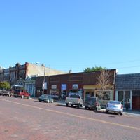
Agriculture shapes daily life here, where residents gather at local events and seasonal celebrations tied to farming. The small-town character and family-run farms define the community's identity.
The administrative center in Oskaloosa is easy to reach for official matters and services. A car is essential for getting around, as public transportation is limited and communities are spread far apart.
The county is completely surrounded by five neighboring counties: Jackson, Atchison, Leavenworth, Shawnee, and Douglas form its entire border. This arrangement places it at a central point on the region's map.
The community of curious travelers
AroundUs brings together thousands of curated places, local tips, and hidden gems, enriched daily by 60,000 contributors worldwide.