White County

Log in to your account

AroundUs is a community-driven map of interesting places, built by curious explorers like you. It grows with every review, story, and photo you share.
Connect to save your favorite spots, contribute locations, and create personalized routes.
Continue with Google
Continue with Apple
Continue with X
Continue with Facebook
Continue with email
By continuing, you accept our Terms and Conditions and our Privacy Policy
Create an account
Add to collection
Map
Suggest a change
Share

White County, Administrative county in southern Illinois, United States.

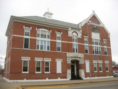
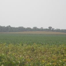
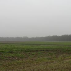
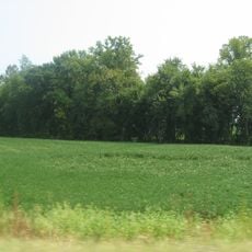
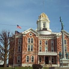
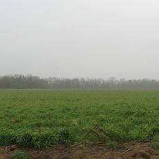
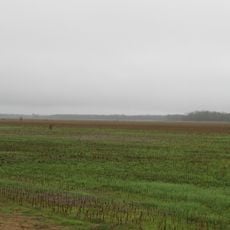
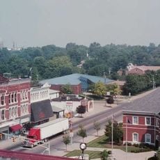
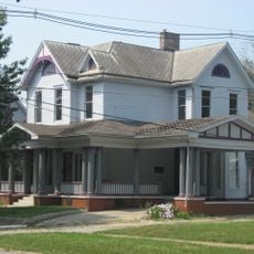
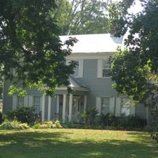
White County spreads across southern Illinois as an agricultural region with open fields and the Little Wabash River running through it. The landscape is flat and mostly rural, with the town of Carmi serving as the county seat and administrative hub.

The county was created in 1815 from Gallatin County and named after Captain Leonard White, who died in the Battle of Tippecanoe in 1811. Its formation reflected the westward expansion happening across the frontier during that era.

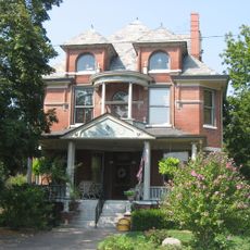
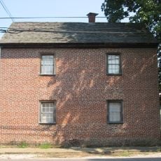
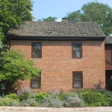
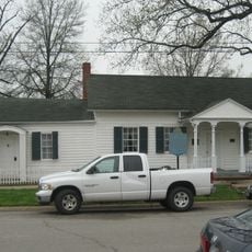
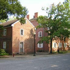
Scottish-Irish families from the Carolinas were among the first to settle here, followed by German immigrants from Baden who arrived in the 1840s. These communities shaped the local character and traditions that remain visible in the region.

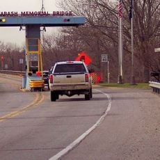
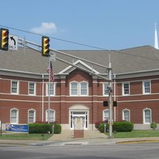
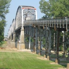
Most visitors travel through on Interstate 64 or U.S. Highway 45 to reach Carmi and other towns, where government offices and local services are located. The flat terrain makes driving straightforward, though keep in mind the region is largely rural with limited services between communities.

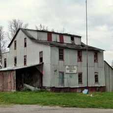
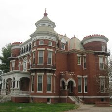
Oil was discovered here in 1939, transforming the region from purely agricultural land into a production area and sparking rapid growth in Carmi. This economic shift shaped local development for decades and left visible marks on the landscape and communities.

Location: Illinois

Inception: 1815

Capital city: Carmi

Shares border with: Edwards County, Gallatin County, Gibson County, Posey County, Saline County, Hamilton County, Wayne County, Wabash County

Website: https://whitecounty-il.gov

GPS coordinates: 38.09000,-88.18000

Latest update: December 7, 2025 20:25

Photos
Around this place
New Harmony's Atheneum
United States of America

New Harmony's Atheneum

21.7 km
Roofless Church
United States of America

Roofless Church

21.9 km
Mann Site
United States of America

Mann Site

35.9 km
Wabash Memorial Bridge
United States of America

Wabash Memorial Bridge

20.6 km
Hubele Mounds and Village Site
United States of America

Hubele Mounds and Village Site

15.3 km
Ashworth Archaeological Site
United States of America

Ashworth Archaeological Site

34.2 km
Wilson Mounds and Village Site
United States of America

Wilson Mounds and Village Site

16.5 km
William W. Gray House
United States of America

William W. Gray House

24.7 km
Amon Clarence Thomas House
United States of America

Amon Clarence Thomas House

21.7 km
Posey County Courthouse Square
United States of America

Posey County Courthouse Square

30.6 km
Old Morrison Mill
United States of America

Old Morrison Mill

19.1 km
Bieker-Wilson Village Site
United States of America

Bieker-Wilson Village Site

21.3 km
Mattias Scholle House
United States of America

Mattias Scholle House

22.1 km
James Robert Williams House
United States of America

James Robert Williams House

1.9 km
George Bentel House
United States of America

George Bentel House

22.2 km
Duffy Site
United States of America

Duffy Site

26.8 km
Robinson-Stewart House
United States of America

Robinson-Stewart House

1.9 km
Ludwig Epple House
United States of America

Ludwig Epple House

22 km
I.O.O.F. and Barker Buildings
United States of America

I.O.O.F. and Barker Buildings

30.5 km
Mount Vernon Downtown Historic District
United States of America

Mount Vernon Downtown Historic District

30.6 km
Carmi Chapter House
United States of America

Carmi Chapter House

1.2 km
Welborn Historic District
United States of America

Welborn Historic District

30.5 km
William Gonnerman House
United States of America

William Gonnerman House

30.4 km
Historic New Harmony Atheneum
United States of America

Historic New Harmony Atheneum

21.6 km
New Harmony Toll Bridge
United States of America

New Harmony Toll Bridge

21.4 km
New Harmony Historic District
United States of America

New Harmony Historic District

21.9 km
The Labyrinth State Memorial
United States of America

The Labyrinth State Memorial

21.7 km
James Elliott Farm
United States of America

James Elliott Farm

22.9 km
Show the full map
Reviews

Visited this place? Tap the stars to rate it and share your experience / photos with the community! Try now! You can cancel it anytime.

« White County - Administrative county in southern Illinois, United States » is provided by Around Us (aroundus.com). Images and texts are derived from Wikimedia project under a Creative Commons license. You are allowed to copy, distribute, and modify copies of this page, under the conditions set by the license, as long as this note is clearly visible.

Discover hidden gems everywhere you go!

From secret cafés to breathtaking viewpoints, skip the crowded tourist spots and find places that match your style. Our app makes it easy with voice search, smart filtering, route optimization, and insider tips from travelers worldwide. Download now for the complete mobile experience.

Around Us App Screenshot

A unique approach to discovering new places

Le Figaro

All the places worth exploring

France Info

A tailor-made excursion in just a few clicks

20 Minutes