Ashworth Archaeological Site
Ashworth Archaeological Site, Archaeological site in southwestern Indiana, United States.
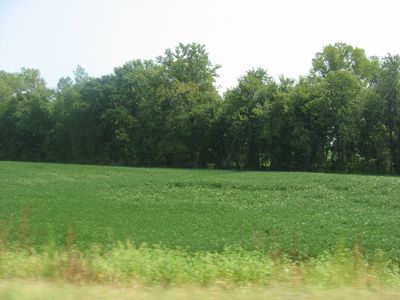
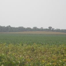
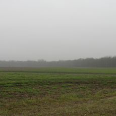
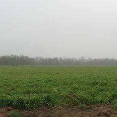
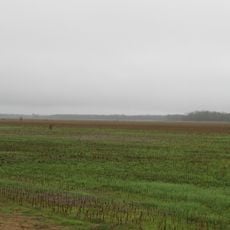
The Ashworth Archaeological Site is a prehistoric location on a high bluff beside State Road 69 in southwestern Indiana. The setting overlooks a wetland area near where the Ohio and Wabash Rivers meet, containing remains from different time periods.
The area was systematically documented in 1949, with fifteen prehistoric villages identified in the surrounding region. The artifacts show a long span of human settlement, ranging from early hunting cultures to later Mississippian societies.
The site holds traces of a Caborn-Welborn settlement, with pottery and tools that reveal how residents organized their lives and crafted their belongings. What remains offers a window into the daily rhythms of a community that chose this riverfront location.
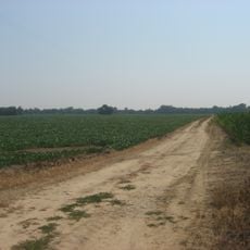
The site is relatively easy to reach from State Road 69 and can be explored on foot. Spring and fall offer the best visiting conditions, when the weather is mild and the paths tend to be drier.
Excavation work began in 1945 to preserve the site from potential destruction caused by flood control projects in the region. This rescue effort allowed important knowledge about the Caborn-Welborn culture to be saved before the location could have been lost.
Location: Indiana
GPS coordinates: 37.85000,-87.93611
Latest update: December 14, 2025 15:01
Shawneetown Bank State Historic Site
24.5 km
John T. Myers Locks and Dam
7.9 km
Mann Site
11 km
Wabash Memorial Bridge
13.7 km
Shawneetown Bridge
24.7 kmWelborn Village Archeological Site
7.7 km
Hovey Lake Archaeological District
2.6 km
Hubele Mounds and Village Site
20.4 kmGallatin County Courthouse
26.5 km
Hovey Lake Fish and Wildlife Area
3.7 km
Wilson Mounds and Village Site
18.6 km
John Marshall House Museum
24.7 km
Confederate Monument of Morganfield
17.5 km
Posey County Courthouse Square
9.9 km
Union County Courthouse
18.6 km
Camp Breckinridge Non-Commissioned Officers' Club
19.6 km
Bieker-Wilson Village Site
14.4 km
Duffy Site
14.1 km
I.O.O.F. and Barker Buildings
9.8 km
Mount Vernon Downtown Historic District
9.7 km
South Main and South Elm Streets Historic District
30 km
Daniel H. Hughes House
18.6 km
George N. Proctor House
16.7 km
Welborn Historic District
10.1 km
William Gonnerman House
9.3 km
Robert and John McKee Peeples Houses
24.3 km
Barret House
30.2 km
Morganfield Commercial District
18.5 kmVisited this place? Tap the stars to rate it and share your experience / photos with the community! Try now! You can cancel it anytime.
Discover hidden gems everywhere you go!
From secret cafés to breathtaking viewpoints, skip the crowded tourist spots and find places that match your style. Our app makes it easy with voice search, smart filtering, route optimization, and insider tips from travelers worldwide. Download now for the complete mobile experience.
A unique approach to discovering new places❞
— Le Figaro
All the places worth exploring❞
— France Info
A tailor-made excursion in just a few clicks❞
— 20 Minutes