
Monongalia County, County administrative division in Morgantown, West Virginia, United States
Monongalia County extends over mountains and valleys in northern West Virginia, with Morgantown serving as its central administrative hub and largest population center.
The county formed on October 7, 1776, from the District of West Augusta in Virginia and remained part of Virginia until West Virginia separated in 1863.
West Virginia University, established in 1867, transformed the county into an educational center and influences local development through research and academic programs.
The county provides online services for property tax payments, GIS parcel viewing, and access to real estate records through the Assessor's Office website.
The county maintains three distinct administrative districts - Central, Eastern, and Western - following a 1970s reorganization of seven historical magisterial areas.
Location: West Virginia
Inception: October 7, 1776
Capital city: Morgantown
Shares border with: Fayette County, Greene County, Preston County, Taylor County, Marion County, Wetzel County
Website: http://co.monongalia.wv.us
GPS coordinates: 39.63000,-80.05000
Latest update: May 27, 2025 06:58

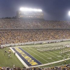
Mountaineer Field at Milan Puskar Stadium
8.5 km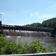
Cheat Lake
19.3 km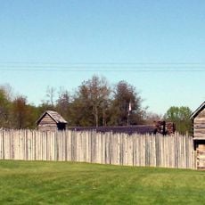
Prickett's Fort State Park
13.4 km
Mountaineer Field
8.2 km
Woodburn Circle
7.8 km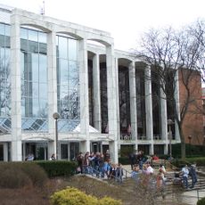
Mountainlair
8.3 km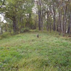
Mason and Dixon Survey Terminal Point
11.7 km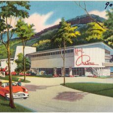
Mont Chateau State Park
17.6 km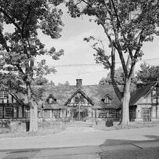
High Gate
19.4 km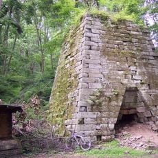
Henry Clay Furnace
19.9 km
Earl L. Core Arboretum
6.5 km
Old Stone House
8 km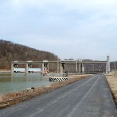
Opekiska Lock and Dam
7.4 km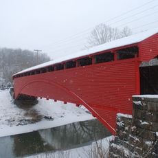
Barrackville Covered Bridge
17.1 km
Boreman Hall
8.3 km
Downtown Morgantown Historic District
8 km
Monongalia County Courthouse
8 km
Oglebay Hall
8.2 km
Stewart Hall
8.2 km
Warner Theatre
8 km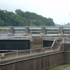
Morgantown Lock and Dam
7.2 km
Elizabeth Moore Hall
8.1 km
Elkins Coal and Coke Company Historic District
22.7 km
Walters House
8.3 km
Alexander Wade House
7.9 km
Dunbar School
18 km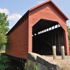
Dents Run Covered Bridge
1.1 km
Monongalia Arts Center
7.9 kmReviews
Visited this place? Tap the stars to rate it and share your experience / photos with the community! Try now! You can cancel it anytime.
Discover hidden gems everywhere you go!
From secret cafés to breathtaking viewpoints, skip the crowded tourist spots and find places that match your style. Our app makes it easy with voice search, smart filtering, route optimization, and insider tips from travelers worldwide. Download now for the complete mobile experience.

A unique approach to discovering new places❞
— Le Figaro
All the places worth exploring❞
— France Info
A tailor-made excursion in just a few clicks❞
— 20 Minutes