Nance County, Administrative division in Nebraska, US
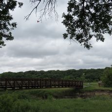
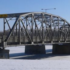
Nance County is an administrative division in Nebraska with rolling terrain and rivers that define its landscape. The Loup River flows through its center, while the Cedar River passes near Fullerton.
The territory was originally home to the Pawnee Nation until that tribe relocated to Oklahoma in 1876. The county was then formally established in 1879.
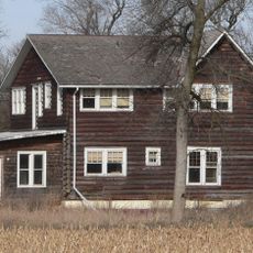
Agriculture shapes daily life here, with vast fields of corn and soybeans visible across the landscape throughout the year. The farming practices and equipment you see reflect the economic foundation of the entire region.
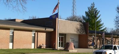
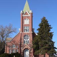
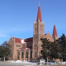
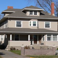
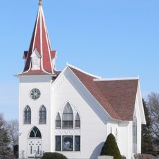
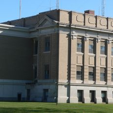
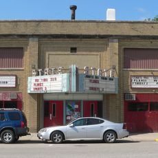
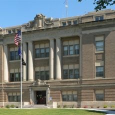
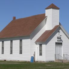
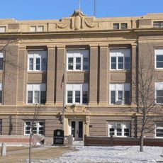
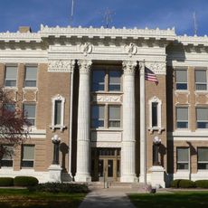
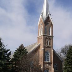
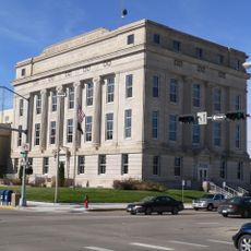
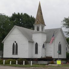
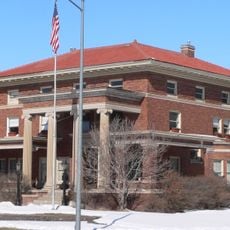
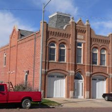
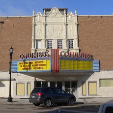
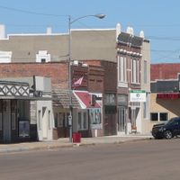
Fullerton serves as the administrative center and the best place to find local services and businesses. Pay attention to seasonal changes, as they significantly affect accessibility and how the region looks.
Unlike most Nebraska territories, the land here was primarily acquired through direct purchase rather than homestead provisions. This unusual method of land distribution still shapes property ownership patterns in the region today.
The community of curious travelers
AroundUs brings together thousands of curated places, local tips, and hidden gems, enriched daily by 60,000 contributors worldwide.