
Keya Paha County, County in northern Nebraska, United States
Keya Paha County spans 774 square miles of agricultural land with rolling hills and encompasses the Keya Paha River in the northeastern section of Nebraska.
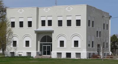
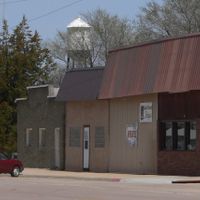
The county separated from Brown County in 1884, establishing its administrative center in Springview after a competitive election between fifteen candidate locations in 1885.
The name originates from Dakota language meaning turtle hill, referring to the rounded hills that characterize the regional landscape of northern Nebraska.
The county courthouse at 310 Courthouse Drive in Springview operates Monday through Friday, offering services from property assessment to election management and record maintenance.
With a population of 769 residents recorded in 2020, the county maintains 97 percent of its total area for agricultural purposes across its rolling terrain.
Location: Nebraska
Inception: 1884
Capital city: Springview
Shares border with: Tripp County, Brown County, Rock County, Cherry County, Boyd County, Holt County, Todd County, Gregory County
Website: http://co.keya-paha.ne.us
GPS coordinates: 42.88000,-99.72000
Latest update: March 4, 2025 06:31
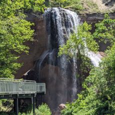
Smith Falls
48.6 km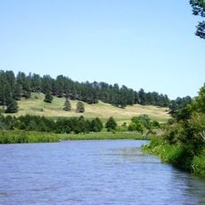
Niobrara National Scenic River
48.7 km
Valentine National Wildlife Refuge
82 km
Fort Niobrara National Wildlife Refuge
59.4 km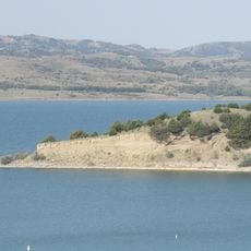
Snake Creek Recreation Area
74.9 km
Niobrara Valley Preserve
27.3 km
White Horse Ranch
53.9 km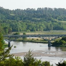
Bryan Bridge
66.2 km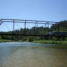
Brewer Bridge
44.5 km
Carns State Aid Bridge
25.4 km
Bell Bridge
49.1 km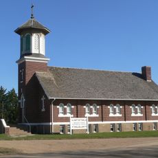
St. Augustine Church
42.9 km
Cherry County Courthouse
67.8 km
Valentine Public School
67.5 km
Lewis Bridge
14.8 km
Adamson Bridge
78.1 km
St. John's Catholic Church
25.3 km
Borman Bridge
65.4 km
Tripp County Veteran's Memorial
56.3 km
Berry State Aid Bridge
52.4 km
Herrick Elevator
51.5 km
Brantly Sturdevant House
72.2 km
F.M. Walcott House
68 km
Dallas Carnegie Library
42.9 km
Rock County Courthouse
36.4 km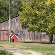
Manthey Barn
37.4 km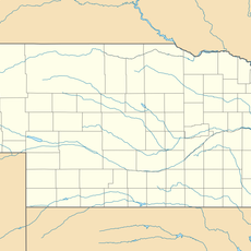
Distrito electoral de Valentine (condado de Cherry, Nebraska)
66.1 km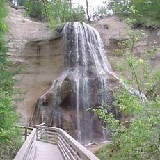
Smith Falls State Park
48.7 kmReviews
Visited this place? Tap the stars to rate it and share your experience / photos with the community! Try now! You can cancel it anytime.
Discover hidden gems everywhere you go!
From secret cafés to breathtaking viewpoints, skip the crowded tourist spots and find places that match your style. Our app makes it easy with voice search, smart filtering, route optimization, and insider tips from travelers worldwide. Download now for the complete mobile experience.

A unique approach to discovering new places❞
— Le Figaro
All the places worth exploring❞
— France Info
A tailor-made excursion in just a few clicks❞
— 20 Minutes