Enable Location

We need your location to show you interesting places around you

Discover nearby places

Find interesting locations and hidden gems around you

Precise directions

Get accurate directions and distances to places

Your location is never shared with other users. It's only used when you tap the location button.

Garfield County

Log in to your account

Start exploring — it's free

Trusted by 61,817 travelers worldwide

Continue with Google
Continue with Apple
or

We will send you a code to connect

By continuing, you accept our Terms and Conditions and our Privacy Policy

Check your inbox

We've sent a pincode in your inbox. Please enter the code below.

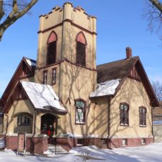
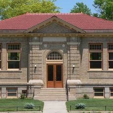
Garfield County, County in Nebraska, United States.

Description

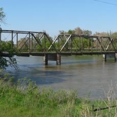
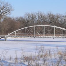
Garfield County is a rural county in Nebraska with the North Loup River running through its southwestern section. The landscape consists of open grasslands and agricultural fields typical of the Great Plains.

History

The county was established in 1884 and named after James A. Garfield, the 20th US President. Settlement followed the patterns of westward expansion and land development typical of that era.

Culture

Agriculture forms the backbone of local life, with farming and ranching visible throughout the region. This land-based way of living has shaped how people in the area connect with their surroundings.

Practical

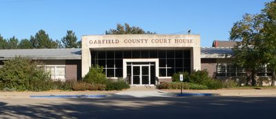
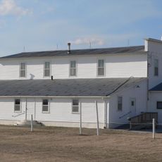
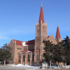
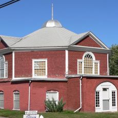
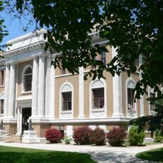
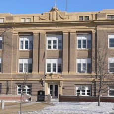
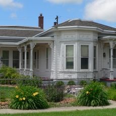
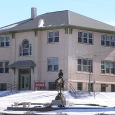
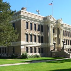
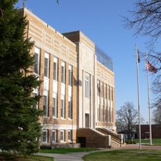
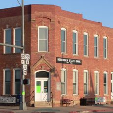
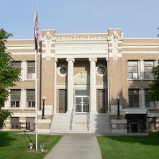
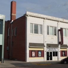
Burwell serves as the county seat and administrative center with local services and facilities. Visitors typically find it easiest to start in Burwell where most information and services are located.

Did you know?

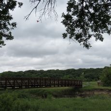
Calamus Reservoir State Park extends partly into the county, offering water recreation and wildlife viewing opportunities. This unexpected natural refuge provides a contrast to the surrounding farmland.

Location
Inception
1884
Capital city
Burwell
Shares border with
Holt County, Valley County, Loup County, Wheeler County, Custer County
GPS coordinates
41.89000,-98.98000
Latest update
December 10, 2025 15:51

AroundUs brings together thousands of curated places, local tips, and hidden gems, enriched daily by 60,000 contributors worldwide. Discover all places nearby (Nebraska).

Around this place
Dowse Sod House
United States of America

Dowse Sod House

48.2 km
Fort Hartsuff State Historical Park
United States of America

Fort Hartsuff State Historical Park

18.9 km
St. Anselm's Catholic Church, Rectory and Parish Hall
United States of America

St. Anselm's Catholic Church, Rectory and Parish Hall

79.7 km
Rad Slavin cis. 112 Z.C.B.J. Hall
United States of America

Rad Slavin cis. 112 Z.C.B.J. Hall

34.4 km
Olson Nature Preserve
United States of America

Olson Nature Preserve

73.3 km
Church of the Visitation of the Blessed Virgin Mary
United States of America

Church of the Visitation of the Blessed Virgin Mary

59.5 km
A.T. Ranch Headquarters
United States of America

A.T. Ranch Headquarters

40.3 km
St. Michael's Catholic Church Complex
United States of America

St. Michael's Catholic Church Complex

55.8 km
Sargent Bridge
United States of America

Sargent Bridge

43.7 km
Dannevirke Danish Lutheran Church and Community Hall
United States of America

Dannevirke Danish Lutheran Church and Community Hall

67.2 km
Garfield County Frontier Fairgrounds
United States of America

Garfield County Frontier Fairgrounds

17.4 km
First Presbyterian Church
United States of America

First Presbyterian Church

56.3 km
Loup City Township Carnegie Library
United States of America

Loup City Township Carnegie Library

68.3 km
North Loup Bridge
United States of America

North Loup Bridge

46.3 km
Burwell Carnegie Library
United States of America

Burwell Carnegie Library

17.5 km
People's Unitarian Church
United States of America

People's Unitarian Church

32.4 km
Elkhorn River Bridge
United States of America

Elkhorn River Bridge

76.7 km
Sherman County Courthouse
United States of America

Sherman County Courthouse

68.4 km
Greeley County Courthouse
United States of America

Greeley County Courthouse

53.4 km
Brantly Sturdevant House
United States of America

Brantly Sturdevant House

71.1 km
Former Wheeler County Courthouse
United States of America

Former Wheeler County Courthouse

35.5 km
Valley County Courthouse
United States of America

Valley County Courthouse

32.3 km
Holt County Courthouse
United States of America

Holt County Courthouse

69.1 km
Old Nebraska State Bank Building
United States of America

Old Nebraska State Bank Building

68.9 km
Custer County Courthouse
United States of America

Custer County Courthouse

77.3 km
Brenizer Library
United States of America

Brenizer Library

79.1 km
Broken Bow Carnegie Library
United States of America

Broken Bow Carnegie Library

77.2 km
Tiffany Theater
United States of America

Tiffany Theater

77.2 km
Show the full map
Administrative divisions
« Garfield County - County in Nebraska, United States » is provided by Around Us (aroundus.com). Images and texts are derived from Wikimedia project under a Creative Commons license. You are allowed to copy, distribute, and modify copies of this page, under the conditions set by the license, as long as this note is clearly visible.

Discover hidden gems everywhere you go!

From secret cafés to breathtaking viewpoints, skip the crowded tourist spots and find places that match your style. Our app makes it easy with voice search, smart filtering, route optimization, and insider tips from travelers worldwide. Download now for the complete mobile experience.

Around Us App Screenshot

A unique approach to discovering new places

Le Figaro

All the places worth exploring

France Info

A tailor-made excursion in just a few clicks

20 Minutes

Around Us
Travel Guide & Maps
Download

Send to your phone

QR Code
1

Open the camera app on your mobile.

2

Point at the QR code with your camera. A notification will appear.

3

Tap the notification to open the link.