Enable Location

We need your location to show you interesting places around you

Discover nearby places

Find interesting locations and hidden gems around you

Precise directions

Get accurate directions and distances to places

Your location is never shared with other users. It's only used when you tap the location button.

Garden County

Log in to your account

Start exploring — it's free

Trusted by 61,815 travelers worldwide

Continue with Google
Continue with Apple
or

We will send you a code to connect

By continuing, you accept our Terms and Conditions and our Privacy Policy

Check your inbox

We've sent a pincode in your inbox. Please enter the code below.

Garden County, County in Nebraska, United States

Description

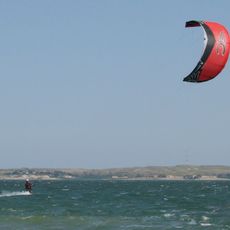
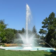
Garden County is an administrative division in western Nebraska centered on the town of Oshkosh. The North Platte River runs through the southern portions, shaping the landscape and water resources of the region.

History

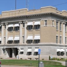
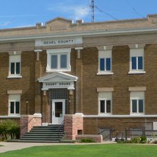
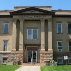
The county was established in 1909 when voters separated the northern section from neighboring Deuel County to create an independent administrative district. This division reflected growing needs for local governance in the agricultural settlement.

Culture

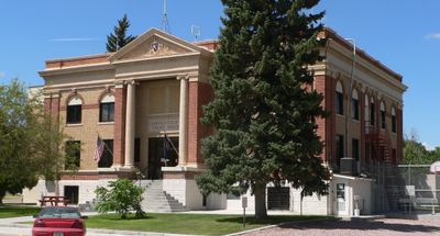
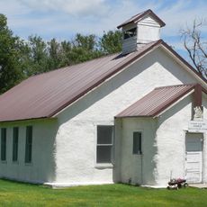
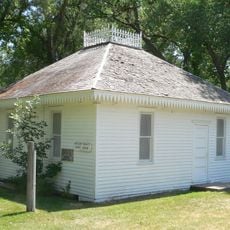
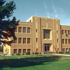
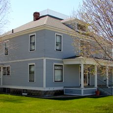
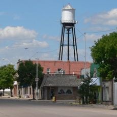
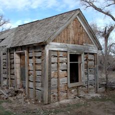
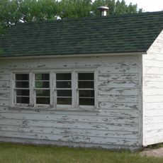
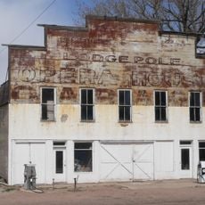
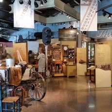
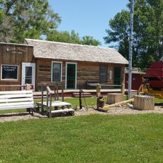
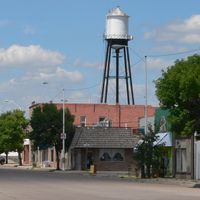
Oshkosh, the administrative hub, reflects the rural character and agricultural focus that defines daily life throughout the county. The small-town atmosphere shows how residents maintain strong community ties around farming and ranching traditions.

Practical

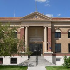
The courthouse in Oshkosh serves as the main government center and operates on weekday hours. Visitors seeking specific services or information should check ahead with county offices to confirm what is available and when.

Did you know?

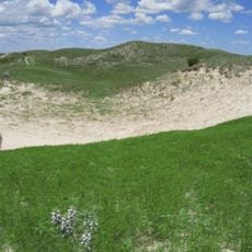
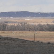
The Crescent Lake National Wildlife Refuge within the county protects lakes and grasslands that support migrating birds and other wildlife. This refuge creates a critical stopping point along migration routes for many bird species passing through the region.

Location
Inception
1909
Capital city
Oshkosh
Shares border with
Sheridan County, Deuel County, Cheyenne County, Morrill County, Grant County, Arthur County, Keith County
GPS coordinates
41.62000,-102.34000
Latest update
December 10, 2025 15:46

AroundUs brings together thousands of curated places, local tips, and hidden gems, enriched daily by 60,000 contributors worldwide. Discover all places nearby (Nebraska).

Around this place
Nebraska Sand Hills Mixed Grasslands
United States of America

Nebraska Sand Hills Mixed Grasslands

58.1 km
Lake McConaughy
United States of America

Lake McConaughy

68.1 km
Ash Hollow State Historical Park
United States of America

Ash Hollow State Historical Park

40.3 km
United States of America

Crescent Lake National Wildlife Refuge

12.1 km
Pilgrim Holiness Church
United States of America

Pilgrim Holiness Church

54.5 km
First Arthur County Courthouse and Jail
United States of America

First Arthur County Courthouse and Jail

54.4 km
Wallace W. Waterman Sod House
United States of America

Wallace W. Waterman Sod House

52.8 km
Camp Clarke Bridge Site
United States of America

Camp Clarke Bridge Site

69.2 km
City of Alliance Central Park Fountain
United States of America

City of Alliance Central Park Fountain

69.5 km
Sedgwick County Courthouse
United States of America

Sedgwick County Courthouse

70.6 km
Mud Springs Station Archeological District
United States of America

Mud Springs Station Archeological District

58.4 km
Rackett Grange Hall No. 318
United States of America

Rackett Grange Hall No. 318

12.3 km
Lisco State Aid Bridge
United States of America

Lisco State Aid Bridge

27.8 km
Lewellen State Aid Bridge
United States of America

Lewellen State Aid Bridge

37.5 km
Box Butte County Courthouse
United States of America

Box Butte County Courthouse

69.2 km
Deuel County Courthouse
United States of America

Deuel County Courthouse

59.6 km
Fred and Minnie Meyer Sudman House
United States of America

Fred and Minnie Meyer Sudman House

59.4 km
Garden County Courthouse
United States of America

Garden County Courthouse

23.6 km
Oshkosh Water Tower
United States of America

Oshkosh Water Tower

23.8 km
Morrill County Courthouse
United States of America

Morrill County Courthouse

63.4 km
Schuetz Log Cabin
United States of America

Schuetz Log Cabin

63.8 km
District No. 119 North School
United States of America

District No. 119 North School

49 km
Lodgepole Opera House
United States of America

Lodgepole Opera House

58.2 km
Diamond Springs Stage Station Site
United States of America

Diamond Springs Stage Station Site

70.3 km
Alliance Knight Museum
United States of America

Alliance Knight Museum

69.3 km
Hippodrome Theatre
United States of America

Hippodrome Theatre

70.7 km
Dobby's Frontier Town
United States of America

Dobby's Frontier Town

70.8 km
Alliance Theatre
United States of America

Alliance Theatre

69.1 km
Show the full map
Administrative divisions
« Garden County - County in Nebraska, United States » is provided by Around Us (aroundus.com). Images and texts are derived from Wikimedia project under a Creative Commons license. You are allowed to copy, distribute, and modify copies of this page, under the conditions set by the license, as long as this note is clearly visible.

Discover hidden gems everywhere you go!

From secret cafés to breathtaking viewpoints, skip the crowded tourist spots and find places that match your style. Our app makes it easy with voice search, smart filtering, route optimization, and insider tips from travelers worldwide. Download now for the complete mobile experience.

Around Us App Screenshot

A unique approach to discovering new places

Le Figaro

All the places worth exploring

France Info

A tailor-made excursion in just a few clicks

20 Minutes

Around Us
Travel Guide & Maps
Download

Send to your phone

QR Code
1

Open the camera app on your mobile.

2

Point at the QR code with your camera. A notification will appear.

3

Tap the notification to open the link.