Ozark County, Administrative county in southern Missouri, United States.
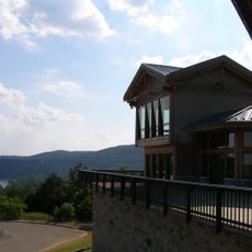
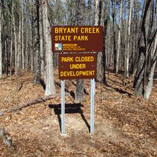
Ozark County is an administrative county in southern Missouri covering roughly 755 square miles (1,955 square kilometers) of territory. The area includes sections of Mark Twain National Forest and is crossed by U.S. Route 160.
The county was founded in 1841 and briefly carried the name Decatur County from 1843 to 1845. It then returned to its original name.
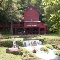
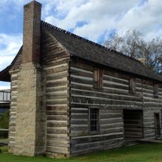
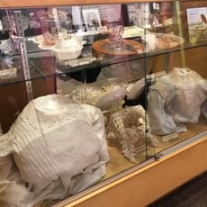
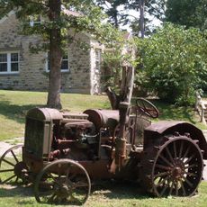
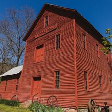
Local communities practice traditional crafts and folk arts that appear at regional markets and gatherings. These skills connect residents to their rural heritage.
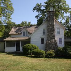
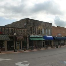
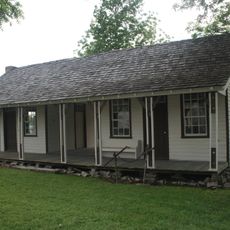
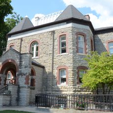
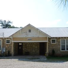
Gainesville serves as the county seat where administrative offices handle public services and local government matters. Visitors can find government buildings and resources in the town center.
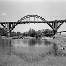
The area borders three Arkansas counties and contains water bodies covering around 10 square miles (26 square kilometers). These waterways support local fishing and recreation.
The community of curious travelers
AroundUs brings together thousands of curated places, local tips, and hidden gems, enriched daily by 60,000 contributors worldwide.