Meigs County, Administrative county in southeastern Ohio, United States.
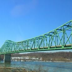
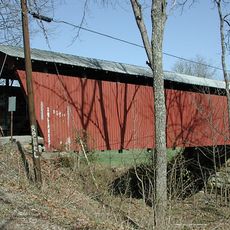
Meigs County is an administrative division in southeastern Ohio with approximately 433 square miles of land along the Ohio River. The area features rolling hills and river valleys characteristic of the Appalachian Plateau region.
The county was established in 1819 and named after Return J. Meigs Jr., who served as the fourth governor of Ohio. Its creation marked a period of state expansion and administrative reorganization.
The Winter Faire brings together local artisans, farmers, and residents to celebrate regional products and food traditions. The event reflects the community's connection to its agricultural heritage and craft skills.
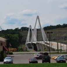
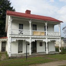
Pomeroy, the county seat, offers services including courts, medical care, and schools for residents and visitors. The warmer months are best for exploring this rural region, when roads are accessible and the landscape is fully visible.
The area is crossed by multiple river systems including Shade River and Leading Creek, with elevation changes ranging from around 1,020 feet to 535 feet. This topographic variety shapes both water systems and natural habitats.
The community of curious travelers
AroundUs brings together thousands of curated places, local tips, and hidden gems, enriched daily by 60,000 contributors worldwide.