Enable Location

We need your location to show you interesting places around you

Discover nearby places

Find interesting locations and hidden gems around you

Precise directions

Get accurate directions and distances to places

Your location is never shared with other users. It's only used when you tap the location button.

Livingston County

Log in to your account

Start exploring — it's free

Trusted by 61,887 travelers worldwide

Continue with Google
Continue with Apple
or

We will send you a code to connect

By continuing, you accept our Terms and Conditions and our Privacy Policy

Check your inbox

We've sent a pincode in your inbox. Please enter the code below.

Livingston County, Administrative county in Missouri, United States.

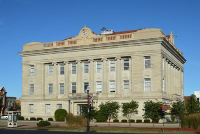
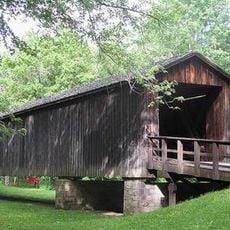
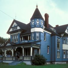
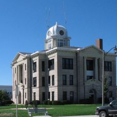
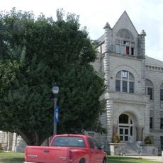
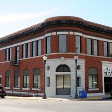
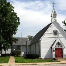
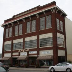
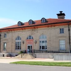
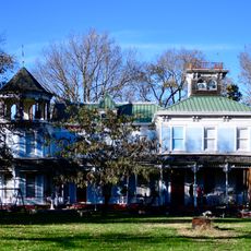
Livingston County is an administrative county in Missouri covering roughly 1,400 square kilometers. Its county seat, Chillicothe, serves as the main urban center and is connected by U.S. Routes 36 and 65 as well as Missouri Route 190.

The county was established in 1837 and named after Edward Livingston, a U.S. Secretary of State. Its creation reflected the period of westward expansion and territorial organization in Missouri.

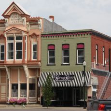
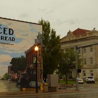
Chillicothe, the county seat, is known as the birthplace of commercial sliced bread production. This heritage remains part of how people here connect to food and local identity.

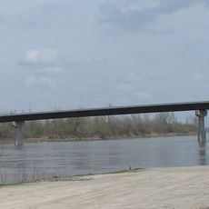
Major highways including U.S. Routes 36 and 65 plus Missouri Route 190 link the different towns throughout the area. These main roads make it easy to travel between communities and explore various parts of the county.

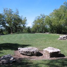
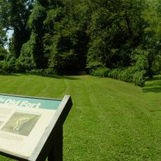
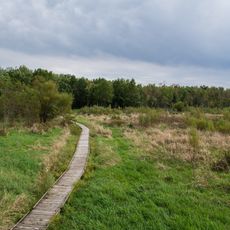
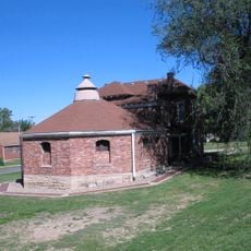
The area maintains a notably low population density of around 8 people per square kilometer. Water bodies cover only a small portion of the landscape, making it predominantly rural and open.

The community of curious travelers

AroundUs brings together thousands of curated places, local tips, and hidden gems, enriched daily by 60,000 contributors worldwide.

Start exploring
Location
Inception
1837
Capital city
Chillicothe
Shares border with
Grundy County, Carroll County, Linn County, Chariton County, Caldwell County, Daviess County
GPS coordinates
39.78000,-93.55000
Latest update
December 10, 2025 15:53
Around this place
Adam-ondi-Ahman
United States of America

Adam-ondi-Ahman

42.9 km
Walt Disney Hometown Museum
United States of America

Walt Disney Hometown Museum

52.1 km
Van Meter State Park
United States of America

Van Meter State Park

61.6 km
Wallace State Park
United States of America

Wallace State Park

58.3 km
Locust Creek Covered Bridge State Historic Site
United States of America

Locust Creek Covered Bridge State Historic Site

27 km
Pershing State Park
United States of America

Pershing State Park

28.8 km
Swan Lake National Wildlife Refuge
United States of America

Swan Lake National Wildlife Refuge

37.4 km
Gen. John J. Pershing Boyhood Home State Historic Site
United States of America

Gen. John J. Pershing Boyhood Home State Historic Site

32.6 km
Crowder State Park
United States of America

Crowder State Park

36 km
Miami Bridge
United States of America

Miami Bridge

57.4 km
A. Taylor Ray House
United States of America

A. Taylor Ray House

38.4 km
Daviess County Rotary Jail and Sheriff's Residence
United States of America

Daviess County Rotary Jail and Sheriff's Residence

38.4 km
Courthouse Square Historic District
United States of America

Courthouse Square Historic District

1.6 km
St. Munchin Catholic Church
United States of America

St. Munchin Catholic Church

59.4 km
Daviess County Courthouse
United States of America

Daviess County Courthouse

38.3 km
First Presbyterian Church
United States of America

First Presbyterian Church

65.1 km
Old Fort
United States of America

Old Fort

61.6 km
Carroll County Court House
United States of America

Carroll County Court House

47.2 km
Farmers Bank Building
United States of America

Farmers Bank Building

54.2 km
Wilcoxson and Company Bank
United States of America

Wilcoxson and Company Bank

47.2 km
Grace Episcopal Church
United States of America

Grace Episcopal Church

1.6 km
Chillicothe Commercial Historic District
United States of America

Chillicothe Commercial Historic District

1.4 km
United States Post Office
United States of America

United States Post Office

47.4 km
Redding-Hill House
United States of America

Redding-Hill House

65 km
Russell Sunflower Patch
United States of America

Russell Sunflower Patch

52.8 km
Waverly Bridge
United States of America

Waverly Bridge

62.9 km
Linn County Courthouse
United States of America

Linn County Courthouse

32.8 km
Locust Creek Covered Bridge
United States of America

Locust Creek Covered Bridge

27 km
Show the full map
Administrative divisions
« Livingston County - Administrative county in Missouri, United States » is provided by Around Us (aroundus.com). Images and texts are derived from Wikimedia project under a Creative Commons license. You are allowed to copy, distribute, and modify copies of this page, under the conditions set by the license, as long as this note is clearly visible.

Discover hidden gems everywhere you go!

From secret cafés to breathtaking viewpoints, skip the crowded tourist spots and find places that match your style. Our app makes it easy with voice search, smart filtering, route optimization, and insider tips from travelers worldwide. Download now for the complete mobile experience.

Around Us App Screenshot

A unique approach to discovering new places

Le Figaro

All the places worth exploring

France Info

A tailor-made excursion in just a few clicks

20 Minutes

Around Us
Travel Guide & Maps
Download

Send to your phone

QR Code
1

Open the camera app on your mobile.

2

Point at the QR code with your camera. A notification will appear.

3

Tap the notification to open the link.