Fairfield County, Administrative county in central Ohio, United States.
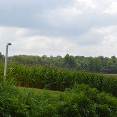
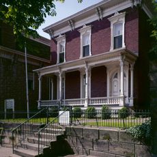
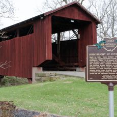
Fairfield County is an administrative division in central Ohio with Lancaster as its county seat, stretching across diverse landscapes and terrain types. The northern areas feature flat geography while the southern portions display hillier characteristics more typical of Appalachian regions.
The county was established in 1800 and originally encompassed a much larger territory before portions were separated to form new counties. This division process shaped the boundaries and structure of the region for generations to come.
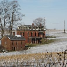
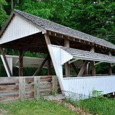
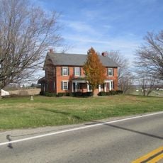
The county bridges connections to the city of Columbus while maintaining deep ties to farming and small-town ways of life that remain visible throughout its communities. People here balance both urban influences and rural traditions in their daily lives.
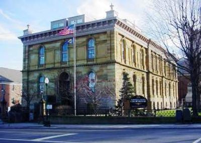
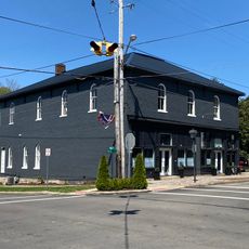
Official county services and administrative offices are primarily located in Lancaster, the main hub for government operations and record access. Visitors seeking county-related assistance should plan their visit during standard business hours.
The southern portion transitions into hillier terrain that differs noticeably from the flatter northern areas, creating a distinct boundary between Ohio's central plains and Appalachian characteristics. This geographic shift makes the region interesting for studying how landscape changes across relatively short distances.
The community of curious travelers
AroundUs brings together thousands of curated places, local tips, and hidden gems, enriched daily by 60,000 contributors worldwide.