Enable Location

We need your location to show you interesting places around you

Discover nearby places

Find interesting locations and hidden gems around you

Precise directions

Get accurate directions and distances to places

Your location is never shared with other users. It's only used when you tap the location button.

Franklin County

Log in to your account

Start exploring — it's free

Trusted by 61,335 travelers worldwide

Continue with Google
Continue with Apple
or

We will send you a code to connect

By continuing, you accept our Terms and Conditions and our Privacy Policy

Check your inbox

We've sent a pincode in your inbox. Please enter the code below.

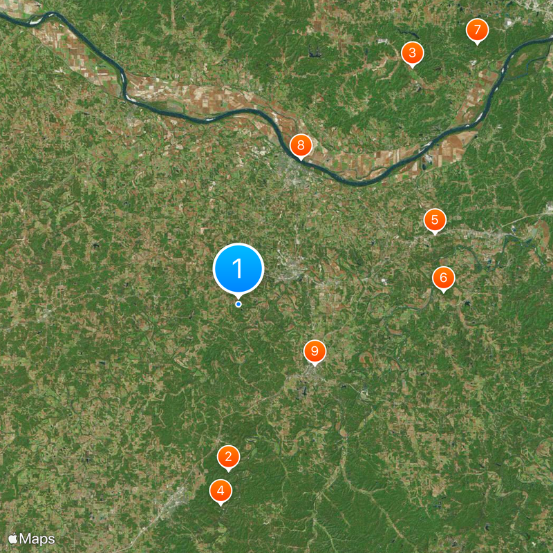
Franklin County, Administrative division in eastern Missouri, US

Description

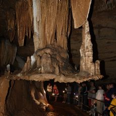
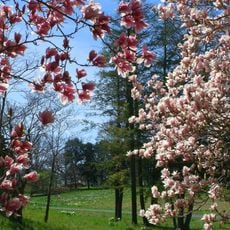
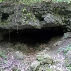
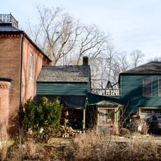
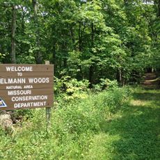
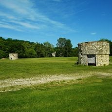
Franklin County is an administrative division in eastern Missouri with steep hills, deep valleys, caves, and natural springs throughout its terrain. The landscape is shaped by waterways and rolling topography that varies significantly across different areas.

History

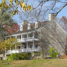
The county was established in December 1818 and named after Benjamin Franklin. Daniel Boone's family arrived in 1799 and became influential in the region's early development.

Culture

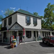
German immigrant families arrived in the 1830s and brought wine production with them, establishing vineyards along the Missouri that shaped the region's character.

Practical

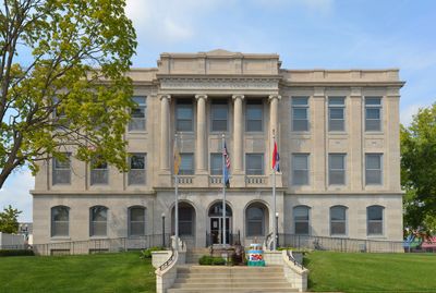
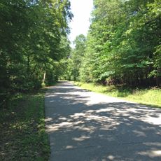
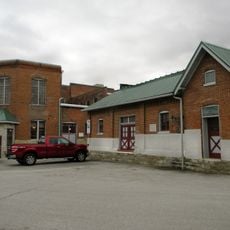
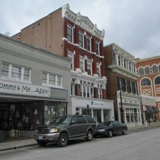
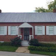
The county administration building in Union provides services including vital records, permits, and tax payments for residents and visitors. The terrain is hilly and varied, so plan accordingly for movement and travel across the area.

Did you know?

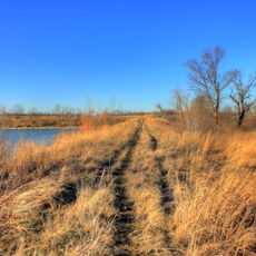
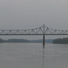
The Bourbeuse River flows through the area for 107 miles, creating a deep, narrow canyon with limited access and few bridges. This geographic barrier has shaped how the region developed over time.

Location
Inception
December 11, 1818
Capital city
Union
Shares border with
Gasconade County, Washington County, Warren County, St. Charles County, St. Louis County, Jefferson County, Crawford County
GPS coordinates
38.41000,-91.08000
Latest update
December 20, 2025 16:01

AroundUs brings together thousands of curated places, local tips, and hidden gems, enriched daily by 60,000 contributors worldwide. Discover all places nearby (Missouri).

Around this place
Meramec Caverns
United States of America

Meramec Caverns

18.8 km
Daniel Boone Home
United States of America

Daniel Boone Home

33.3 km
Meramec State Park
United States of America

Meramec State Park

22.7 km
Shaw Nature Reserve
United States of America

Shaw Nature Reserve

23.7 km
Robertsville State Park
United States of America

Robertsville State Park

23.3 km
Weldon Spring Conservation Area
United States of America

Weldon Spring Conservation Area

40 km
Washington Bridge
United States of America

Washington Bridge

17.9 km
International Shoe Company Building
United States of America

International Shoe Company Building

11.1 km
Meramec Conservation Area
United States of America

Meramec Conservation Area

20 km
Wilhelm Pelster House-Barn
United States of America

Wilhelm Pelster House-Barn

19.2 km
Walnut Street Historic District
United States of America

Walnut Street Historic District

25.1 km
United States of America

Daniel Boone Hays House

32.6 km
John B. Busch Brewery Historic District
United States of America

John B. Busch Brewery Historic District

16.9 km
Henry and Elizabeth Ernst House
United States of America

Henry and Elizabeth Ernst House

16.7 km
United States of America

Moselle Iron Furnace Stack

17.7 km
Franz Schwarzer House
United States of America

Franz Schwarzer House

17.7 km
Downtown Washington Historic District
United States of America

Downtown Washington Historic District

17.6 km
United States of America

Gustav Grauer Farm

34.4 km
AME Church of New Haven
United States of America

AME Church of New Haven

25.5 km
United States of America

Christian and Anna Keller Farmstead

21.1 km
Panhorst Feed Store
United States of America

Panhorst Feed Store

11 km
August Sehrt House
United States of America

August Sehrt House

24.7 km
Isaac McCormick House
United States of America

Isaac McCormick House

35.1 km
Engelmann Woods Natural Area
United States of America

Engelmann Woods Natural Area

31.8 km
Henry Degen House
United States of America

Henry Degen House

17.4 km
St. Albans General Store
United States of America

St. Albans General Store

32.8 km
St. Albans Farms Stone Barn
United States of America

St. Albans Farms Stone Barn

34.1 km
Charles McLee Farris House
United States of America

Charles McLee Farris House

24.9 km
Show the full map
« Franklin County - Administrative division in eastern Missouri, US » is provided by Around Us (aroundus.com). Images and texts are derived from Wikimedia project under a Creative Commons license. You are allowed to copy, distribute, and modify copies of this page, under the conditions set by the license, as long as this note is clearly visible.

Discover hidden gems everywhere you go!

From secret cafés to breathtaking viewpoints, skip the crowded tourist spots and find places that match your style. Our app makes it easy with voice search, smart filtering, route optimization, and insider tips from travelers worldwide. Download now for the complete mobile experience.

Around Us App Screenshot

A unique approach to discovering new places

Le Figaro

All the places worth exploring

France Info

A tailor-made excursion in just a few clicks

20 Minutes

Around Us
Travel Guide & Maps
Download

Send to your phone

QR Code
1

Open the camera app on your mobile.

2

Point at the QR code with your camera. A notification will appear.

3

Tap the notification to open the link.