Enable Location

We need your location to show you interesting places around you

Discover nearby places

Find interesting locations and hidden gems around you

Precise directions

Get accurate directions and distances to places

Your location is never shared with other users. It's only used when you tap the location button.

Kanabec County

Log in to your account

Start exploring — it's free

Trusted by 61,901 travelers worldwide

Continue with Google
Continue with Apple
or

We will send you a code to connect

By continuing, you accept our Terms and Conditions and our Privacy Policy

Check your inbox

We've sent a pincode in your inbox. Please enter the code below.

Kanabec County, Administrative division in East Central Minnesota, United States.

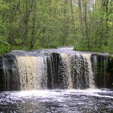
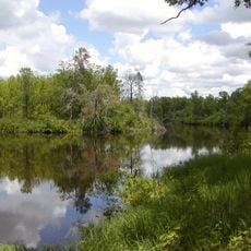
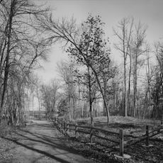
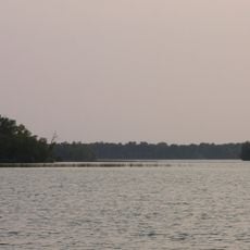
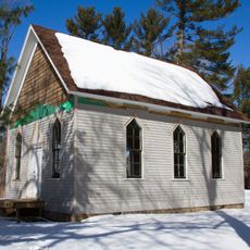
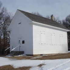
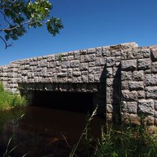
Kanabec County is an administrative area in east central Minnesota characterized by rolling hills, farmland, and numerous lakes including Fish Lake and Knife Lake. The Snake River flows through the territory and shapes the landscape by connecting several communities.

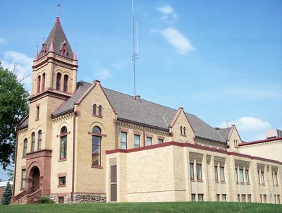
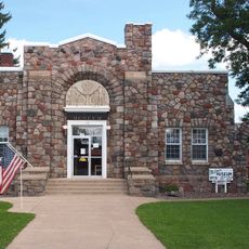
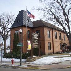
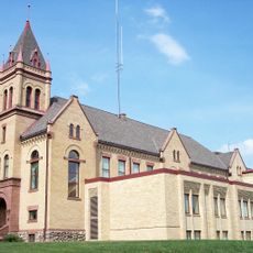
The area was established on October 12, 1858, as part of Pine County and became independent in 1882 with Mora as its seat. This change reflected the period of western growth and administrative reorganization happening across Minnesota.

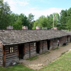
The name comes from the Ojibwe word 'ginebig', which means snake, and reflects the Native American connection to the Snake River that flows through the region. This naming shows the indigenous roots of the area and its link to the people who lived here first.

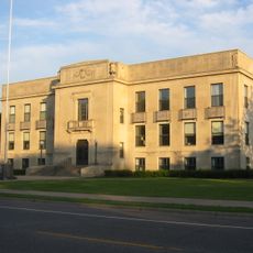
Mora serves as the administrative center where most public services are concentrated, making it the main point for inquiries or official business. The best time to explore the natural areas and lakes is during summer and early fall when access is easy and weather is pleasant.

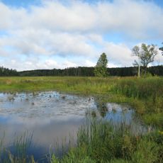
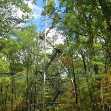
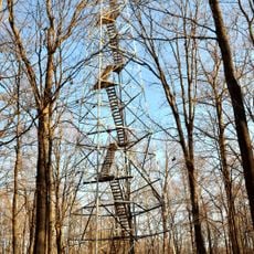
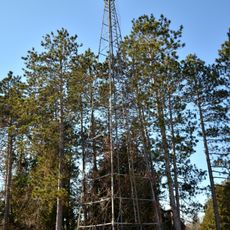
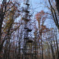
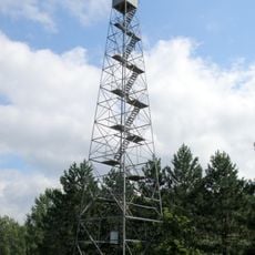
Sections of the Rum River State Forest lie within its borders, giving the territory a wild and natural character that many visitors overlook. Multiple State Wildlife Management Areas also provide access to quiet woodland areas where nature conservation efforts are visible.

The community of curious travelers

AroundUs brings together thousands of curated places, local tips, and hidden gems, enriched daily by 60,000 contributors worldwide.

Start exploring
Location
Inception
October 12, 1858
Capital city
Mora
Shares border with
Aitkin County, Isanti County, Pine County, Chisago County, Mille Lacs County
GPS coordinates
45.95000,-93.30000
Latest update
December 10, 2025 15:55
Around this place
Banning State Park
United States of America

Banning State Park

41.9 km
St. Croix State Park
United States of America

St. Croix State Park

55.5 km
Father Hennepin State Park
United States of America

Father Hennepin State Park

26.1 km
Mille Lacs Kathio State Park
United States of America

Mille Lacs Kathio State Park

39.4 km
Mille Lacs National Wildlife Refuge
United States of America

Mille Lacs National Wildlife Refuge

32.2 km
Mille Lacs Indian Museum
United States of America

Mille Lacs Indian Museum

43.2 km
Milaca Municipal Hall
United States of America

Milaca Municipal Hall

34.9 km
Svenska Mission Kyrka I Sodre Maple Ridge
United States of America

Svenska Mission Kyrka I Sodre Maple Ridge

31.7 km
Ogilvie Watertower
United States of America

Ogilvie Watertower

16.5 km
Isanti County Courthouse
United States of America

Isanti County Courthouse

42.5 km
St. John's Lutheran Church
United States of America

St. John's Lutheran Church

50.1 km
Kanabec County Courthouse
United States of America

Kanabec County Courthouse

8.1 km
Snake River Fur Post
United States of America

Snake River Fur Post

25.4 km
Mille Lacs County Courthouse
United States of America

Mille Lacs County Courthouse

34.4 km
Goose Creek
United States of America

Goose Creek

45.5 km
Arthyde Stone House
United States of America

Arthyde Stone House

47.9 km
Bridge No. 3355-Kathio Township
United States of America

Bridge No. 3355-Kathio Township

48.2 km
Mille Lacs Indian Museum
United States of America

Mille Lacs Indian Museum

43.3 km
Hinckley Fire Museum
United States of America

Hinckley Fire Museum

28.5 km
Solana State Forest
United States of America

Solana State Forest

43.2 km
Snake River Fur Post State Historic Site
United States of America

Snake River Fur Post State Historic Site

26.8 km
St. Croix Recreational Demonstration Area
United States of America

St. Croix Recreational Demonstration Area

53.8 km
St. Croix State Park Fire Tower
United States of America

St. Croix State Park Fire Tower

44.4 km
White Pine Lookout Tower
United States of America

White Pine Lookout Tower

43 km
Mille Lacs Kathio Observation Tower
United States of America

Mille Lacs Kathio Observation Tower

39.3 km
Cambridge Lookout Tower
United States of America

Cambridge Lookout Tower

43.4 km
Pomroy Lookout Tower
United States of America

Pomroy Lookout Tower

10.1 km
Rusheba Lookout Tower
United States of America

Rusheba Lookout Tower

40.3 km
Show the full map
« Kanabec County - Administrative division in East Central Minnesota, United States » is provided by Around Us (aroundus.com). Images and texts are derived from Wikimedia project under a Creative Commons license. You are allowed to copy, distribute, and modify copies of this page, under the conditions set by the license, as long as this note is clearly visible.

Discover hidden gems everywhere you go!

From secret cafés to breathtaking viewpoints, skip the crowded tourist spots and find places that match your style. Our app makes it easy with voice search, smart filtering, route optimization, and insider tips from travelers worldwide. Download now for the complete mobile experience.

Around Us App Screenshot

A unique approach to discovering new places

Le Figaro

All the places worth exploring

France Info

A tailor-made excursion in just a few clicks

20 Minutes

Around Us
Travel Guide & Maps
Download

Send to your phone

QR Code
1

Open the camera app on your mobile.

2

Point at the QR code with your camera. A notification will appear.

3

Tap the notification to open the link.