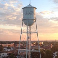
Manassas, Independent city in Northern Virginia, United States
Manassas is an independent city in Northern Virginia with residential areas, commercial zones, and parks spread across roughly 26 square kilometers (10 square miles). The city sits at an average elevation of 93 meters (305 feet) and functions as an administrative seat for the region.
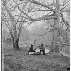
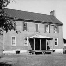
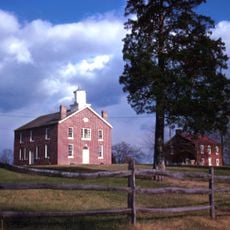
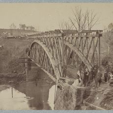
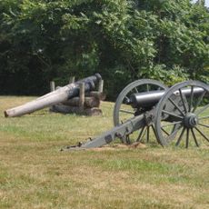
The Battle of Bull Run in July 1861 brought the city into history as the first major engagement of the Civil War. The railroad junction developed into a trading center after the war and grew into an independent city during the 20th century.
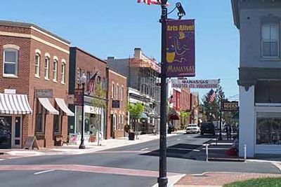
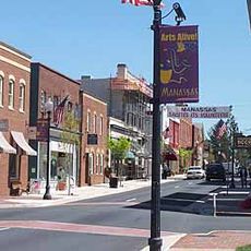
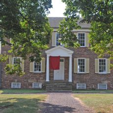
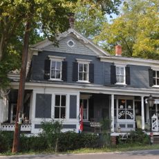
The name comes from Manassas Gap, a mountain pass west of the city that marks the passage to the Shenandoah Valley. Downtown shows historic brick facades next to shops and restaurants, where locals stroll along sidewalks on weekends.
The regional airport sits northwest of downtown and provides access for private planes and smaller charter aircraft. Visitors reach the center via several main roads, while parking is available along streets and in public lots.
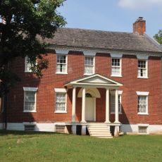
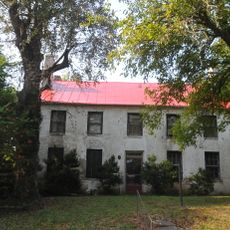
The Annaburg mansion from 1892 was among the first private homes in America with mechanical air conditioning. The system used ice and fans to push cool air through the rooms, which was considered extraordinary luxury at the time.
Location: Virginia
Inception: 1975
Elevation above the sea: 93 m
Part of: Arlington–Alexandria–Reston metropolitan division
Shares border with: Manassas Park, Prince William County
Website: https://manassasva.gov
GPS coordinates: 38.75142,-77.47640
Latest update: December 15, 2025 14:57
Splash Down Waterpark
4.8 km
Hemlock Overlook Regional Park
6.2 km
Old Town Manassas
494 m
Liberia (Manassas, Virginia)
2.1 km
Bull Run Regional Park
5.5 km
"A" Fort and Battery Hill Redoubt-Camp Early
6 km
Manassas Industrial School for Colored Youth
1.3 km
Ben Lomond Plantation
4.8 km
Blackburn's Ford
6.2 km
Prince William County Courthouse
369 m
Conner House
3.1 km
Moor Green
5.2 km
Cannon Branch Fort
3.9 km
Signal Hill
3.3 km
Brentsville Courthouse and Jail
7.2 km
Manassas Water Tower
622 m
White House
7.3 km
Brentsville Historic District
7.3 km
Orange and Alexandria Railroad Bridge Piers
5.5 km
Mayfield Fortification
2.1 km
Signal Bay Water Park
3.1 km
Davis-Beard House
6.2 km
Urbanna Swim Club
3.7 km
Bristow Manor Golf Club
6.9 km
Bristow Manor Golf Club
6.9 km
Upper Room Theatre Ministry
762 m
Statue, Work of art
5 km
Observation Platform
6.9 kmVisited this place? Tap the stars to rate it and share your experience / photos with the community! Try now! You can cancel it anytime.
Discover hidden gems everywhere you go!
From secret cafés to breathtaking viewpoints, skip the crowded tourist spots and find places that match your style. Our app makes it easy with voice search, smart filtering, route optimization, and insider tips from travelers worldwide. Download now for the complete mobile experience.
A unique approach to discovering new places❞
— Le Figaro
All the places worth exploring❞
— France Info
A tailor-made excursion in just a few clicks❞
— 20 Minutes