Patrick County

Log in to your account

AroundUs is a community-driven map of interesting places, built by curious explorers like you. It grows with every review, story, and photo you share.
Connect to save your favorite spots, contribute locations, and create personalized routes.
Continue with Google
Continue with Apple
Continue with X
Continue with Facebook
Continue with email
By continuing, you accept our Terms and Conditions and our Privacy Policy
Create an account
Add to collection
Map
Suggest a change
Share

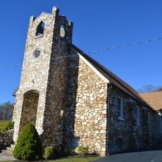
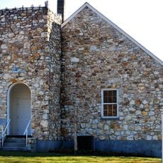
Patrick County, County in Virginia, United States

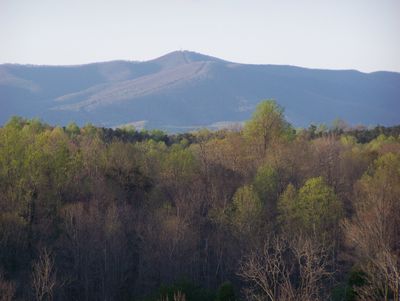
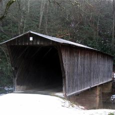
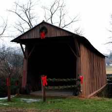
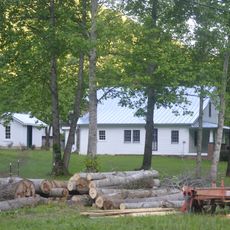
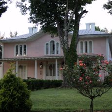
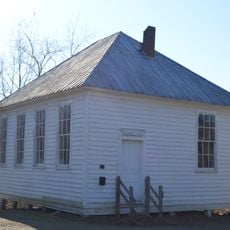
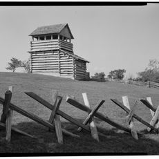
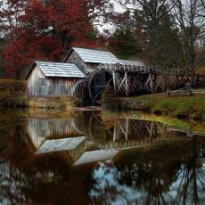
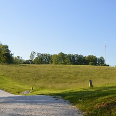
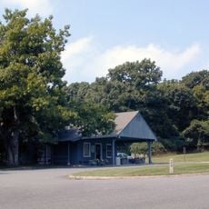
Patrick County is an administrative division in southern Virginia that stretches across rolling hills and mountain terrain between the Piedmont region and the Blue Ridge Mountains. The area combines developed communities with rural landscapes and includes several small towns throughout its jurisdiction.

Patrick County was established in 1791, carved from parts of neighboring Henry County and named after Patrick Henry, Virginia's first governor. The creation reflected the region's growing population during the early years of the United States.

The county maintains seven public schools and hosts an annual beach music festival, contributing to both educational development and entertainment traditions.

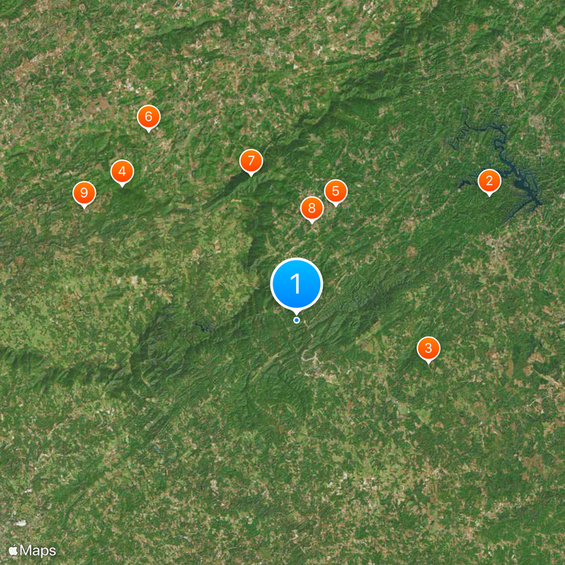
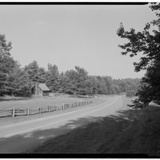
Exploring the area is best done by car, as communities are spread throughout the county and public transportation options are limited. Plan your route in advance and check local road conditions before traveling.

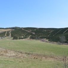
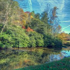
The Rocky Knob American Viticultural Area occupies part of the county and hosts vineyards that benefit from the elevation between the mountain terrain and the flatter Piedmont region. Winemakers there take advantage of the distinctive climatic conditions found at that height.

Location: Virginia

Inception: 1791

Capital city: Stuart

Shares border with: Carroll County, Franklin County, Henry County, Stokes County, Floyd County, Surry County

Website: https://co.patrick.va.us

GPS coordinates: 36.68000,-80.29000

Latest update: December 20, 2025 11:44

Photos
Around this place
Fairy Stone State Park
United States of America

Fairy Stone State Park

22 km
Reynolds Homestead
United States of America

Reynolds Homestead

13.2 km
Buffalo Mountain Natural Area Preserve
United States of America

Buffalo Mountain Natural Area Preserve

21.1 km
Bob White Covered Bridge
United States of America

Bob White Covered Bridge

11.7 km
United States of America

Chestnut Creek Wetlands Natural Area Preserve

23 km
United States of America

Rocky Knob Recreation Area

14.6 km
Jack's Creek Covered Bridge
United States of America

Jack's Creek Covered Bridge

9.5 km
Buffalo Mountain Presbyterian Church and Cemetery
United States of America

Buffalo Mountain Presbyterian Church and Cemetery

23 km
Cockram Mill
United States of America

Cockram Mill

10.3 km
Slate Mountain Presbyterian Church and Cemetery
United States of America

Slate Mountain Presbyterian Church and Cemetery

14.3 km
Spring Valley Rural Historic District
United States of America

Spring Valley Rural Historic District

21 km
Willis Presbyterian Church and Cemetery
United States of America

Willis Presbyterian Church and Cemetery

26.2 km
Goblintown Mill
United States of America

Goblintown Mill

17.2 km
Barnard Farm
United States of America

Barnard Farm

15.6 km
Aurora
United States of America

Aurora

22.9 km
Patrick County Courthouse
United States of America

Patrick County Courthouse

4.6 km
West Fork Furnace
United States of America

West Fork Furnace

18.7 km
Point Pleasant School
United States of America

Point Pleasant School

24.4 km
Stuart Uptown Historic District
United States of America

Stuart Uptown Historic District

4.7 km
Groundhog Mountain Tower
United States of America

Groundhog Mountain Tower

21.6 km
Mabry Mill
United States of America

Mabry Mill

13 km
Laurel Hill Farm
United States of America

Laurel Hill Farm

27 km
United States of America

Mabry Mill Cultural Site

12.9 km
Rocky Knob Visitor Center
United States of America

Rocky Knob Visitor Center

17.7 km
United States of America

Mabry Mill Bridge

13 km
Puckett Cabin
United States of America

Puckett Cabin

23.3 km
United States of America

Calico Rock

26.3 km
Rakes Mill Pond
United States of America

Rakes Mill Pond

20.7 km
Show the full map
Reviews

Visited this place? Tap the stars to rate it and share your experience / photos with the community! Try now! You can cancel it anytime.

« Patrick County - County in Virginia, United States » is provided by Around Us (aroundus.com). Images and texts are derived from Wikimedia project under a Creative Commons license. You are allowed to copy, distribute, and modify copies of this page, under the conditions set by the license, as long as this note is clearly visible.

Discover hidden gems everywhere you go!

From secret cafés to breathtaking viewpoints, skip the crowded tourist spots and find places that match your style. Our app makes it easy with voice search, smart filtering, route optimization, and insider tips from travelers worldwide. Download now for the complete mobile experience.

Around Us App Screenshot

A unique approach to discovering new places

Le Figaro

All the places worth exploring

France Info

A tailor-made excursion in just a few clicks

20 Minutes