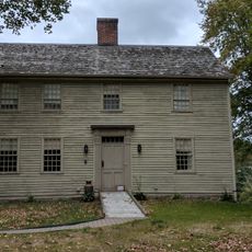
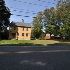
Woodbury, town in Litchfield County, Connecticut, United States
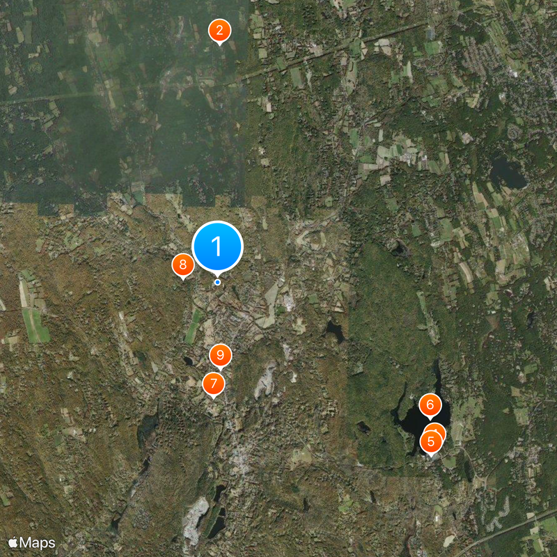
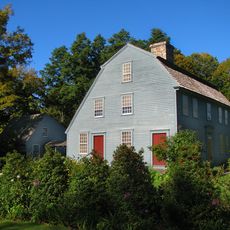
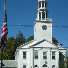
Woodbury is a town in the Naugatuck Valley Planning Region of Litchfield County, Connecticut. It spans a rural landscape with forests, farmland, and residential neighborhoods typical of smaller New England communities.
Woodbury was founded in the 18th century as part of Connecticut's colonial expansion. The town has maintained its rural character despite developments in the broader region.
The town is accessible by local roads but public transportation is limited. Visitors should plan to drive, as main areas spread across several miles.
The community of curious travelers
AroundUs brings together thousands of curated places, local tips, and hidden gems, enriched daily by 60,000 contributors worldwide.
Location
Location
Inception
1673
Elevation above the sea
74 m
Website
GPS coordinates
41.56194,-73.20944
Latest update
March 2, 2026 22:16