Enable Location

We need your location to show you interesting places around you

Discover nearby places

Find interesting locations and hidden gems around you

Precise directions

Get accurate directions and distances to places

Your location is never shared with other users. It's only used when you tap the location button.

Wahoo

Log in to your account

Start exploring — it's free

Trusted by 64,466 travelers worldwide

Continue with Google
Continue with Apple
or

We will send you a code to connect

By continuing, you accept our Terms and Conditions and our Privacy Policy

Check your inbox

We've sent a pincode in your inbox. Please enter the code below.

Discussion Reviews 1 Photos
19.2k Popularity

Wahoo, city in and county seat of Saunders County, Nebraska, United States

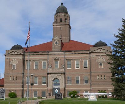
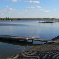
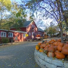
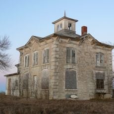
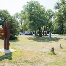
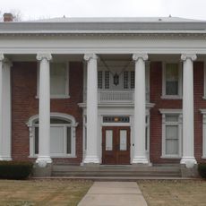
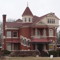
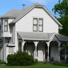
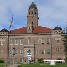
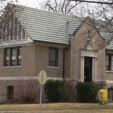
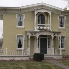
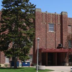
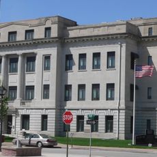
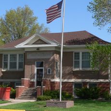
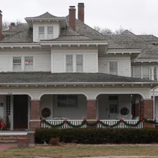
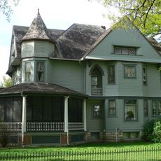
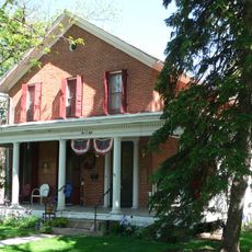
Wahoo is a small city in Saunders County, Nebraska, serving as the county seat. It features historic buildings including the Saunders County Courthouse and Howard Hanson House, public spaces like Caboose Park and Czechland Lake, and a main street with local shops and eateries.

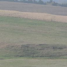
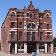
Wahoo developed in the 1800s as an agricultural and trading center for the region. The railroad, represented by the Burlington Depot, played a role in its growth and connected the town to the surrounding area.

Wahoo's name comes from the Osage language, reflecting the region's Indigenous roots. The town today centers on community gatherings at churches, schools, and local events, where neighbors connect and local traditions remain part of daily life.

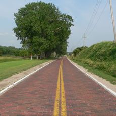
The town is compact and easy to explore on foot, with public spaces, parks, and outdoor activities available year-round. Visitors should plan for warmer months to make the most of the parks, lakes, and outdoor recreation facilities.

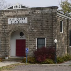
The city has strong Czech heritage connections, reflected in local festivals and place names like Czechland Lake. This cultural influence shapes community events and brings residents together around shared heritage traditions.

The community of curious travelers

AroundUs brings together thousands of curated places, local tips, and hidden gems, enriched daily by 60,000 contributors worldwide.

Start exploring
Location
Inception
1870
Elevation above the sea
369 m
GPS coordinates
41.21111,-96.61981
Latest update
February 16, 2026 23:01
Around this place
Strategic Air and Space Museum
United States of America

Strategic Air and Space Museum

33.1 km
Eugene T. Mahoney State Park
United States of America

Eugene T. Mahoney State Park

32.9 km
Linoma Beach
United States of America

Linoma Beach

30.2 km
Holy Family Shrine
United States of America

Holy Family Shrine

32.4 km
Branched Oak State Recreation Area
United States of America

Branched Oak State Recreation Area

33.6 km
United States of America

Lee G. Simmons Conservation Park and Wildlife Safari

34.6 km
Lincoln Highway
United States of America

Lincoln Highway

35.6 km
Vala's Pumpkin Patch
United States of America

Vala's Pumpkin Patch

36.3 km
Israel Beetison House
United States of America

Israel Beetison House

30 km
Fremont Lakes State Recreation Area
United States of America

Fremont Lakes State Recreation Area

27 km
Nye House
United States of America

Nye House

27.8 km
Upper Oak Creek Descent Ruts of the Woodbury Cutoff, Ox Bow Trail of the California Road
United States of America

Upper Oak Creek Descent Ruts of the Woodbury Cutoff, Ox Bow Trail of the California Road

31 km
J. D. McDonald House
United States of America

J. D. McDonald House

27.1 km
Howard Hanson House
United States of America

Howard Hanson House

596 m
Saunders County Courthouse
United States of America

Saunders County Courthouse

349 m
Ashland Bridge
United States of America

Ashland Bridge

28.9 km
St. Stephen's Episcopal Church
United States of America

St. Stephen's Episcopal Church

28.2 km
Ashland Public Library
United States of America

Ashland Public Library

28.3 km
Love-Larson Opera House
United States of America

Love-Larson Opera House

26.8 km
George and Nancy Turner House
United States of America

George and Nancy Turner House

26.5 km
Rad Plzen cis. 9 Z.C.B.J.
United States of America

Rad Plzen cis. 9 Z.C.B.J.

27.4 km
Fremont Municipal Auditorium
United States of America

Fremont Municipal Auditorium

27.2 km
Dodge County Courthouse
United States of America

Dodge County Courthouse

26.8 km
North Bend Carnegie Library
United States of America

North Bend Carnegie Library

31.1 km
R. B. Schneider House
United States of America

R. B. Schneider House

27.3 km
United States of America

National Bank of Ashland

28.4 km
F.J. Kirchman House
United States of America

F.J. Kirchman House

430 m
Samuel Bullock House
United States of America

Samuel Bullock House

26.9 km
Show the full map
Reviews
Share your experience

No review yet

Discussions
Start a discussion...

No discussion yet

« Wahoo - city in and county seat of Saunders County, Nebraska, United States » is provided by Around Us (aroundus.com). Images and texts are derived from Wikimedia project under a Creative Commons license. You are allowed to copy, distribute, and modify copies of this page, under the conditions set by the license, as long as this note is clearly visible.

Discover hidden gems everywhere you go!

From secret cafés to breathtaking viewpoints, skip the crowded tourist spots and find places that match your style. Our app makes it easy with voice search, smart filtering, route optimization, and insider tips from travelers worldwide. Download now for the complete mobile experience.

Around Us App Screenshot

A unique approach to discovering new places

Le Figaro

All the places worth exploring

France Info

A tailor-made excursion in just a few clicks

20 Minutes

Around Us
Travel Guide & Maps
Download

Send to your phone

QR Code
1

Open the camera app on your mobile.

2

Point at the QR code with your camera. A notification will appear.

3

Tap the notification to open the link.