
Motley, city in Minnesota, United States
Location: Cass County
Location: Morrison County
Location: Todd County
Elevation above the sea: 375 m
Website: http://cityofmotley.com
GPS coordinates: 46.33663,-94.64612
Latest update: March 4, 2025 07:32


Fort Ripley
27.6 km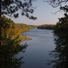
Crow Wing State Park
25.1 km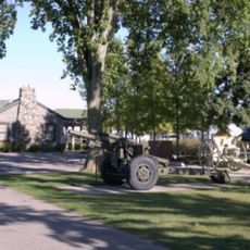
Minnesota Military Museum
36.6 km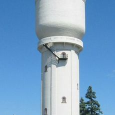
Brainerd Water Tower
34.4 km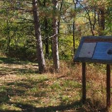
Old Wadena Historic District
17 km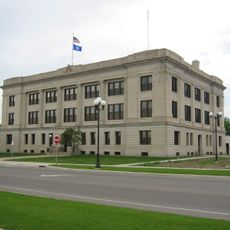
Crow Wing County Courthouse and Jail
34 km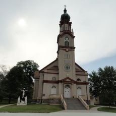
Church of St. Joseph-Catholic
32.6 km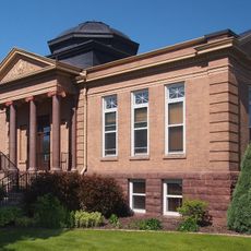
Brainerd Public Library
34.5 km
Wilford H. Fawcett House
43.9 km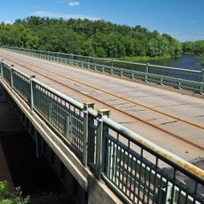
Camp Ripley Bridge
37.8 km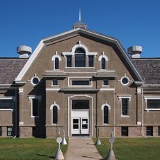
Hewitt Public School
33.7 km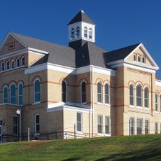
Todd County Courthouse, Sheriff's House, and Jail
43.8 km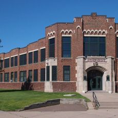
Franklin Junior High School
34.8 km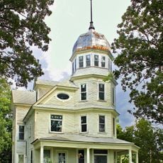
Almond A. White House
407 m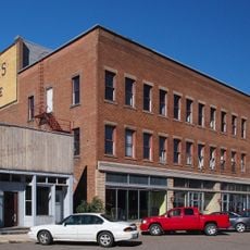
Batcher Opera House Block
43.6 km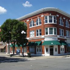
Parker Building
34.4 km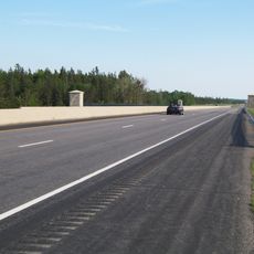
Minnesota Highway 371 Bridge
29.2 km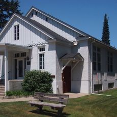
Cole Memorial Building
39.1 km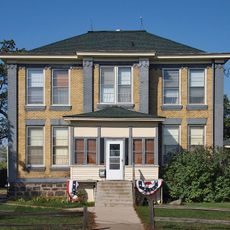
Pine Tree Lumber Company Office Building
45 km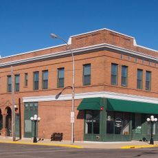
Hotel Reichert
43.6 km
Washington Street Bridge
33.5 km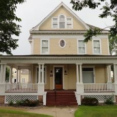
Dr. George R. Christie House
43.7 km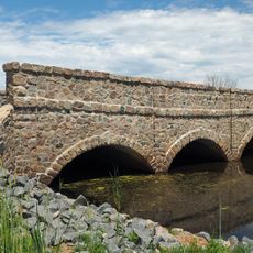
Bridge L7075
34.5 km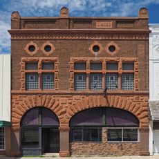
Bank of Long Prairie
43.6 km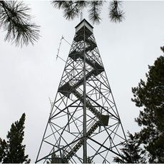
Pequot Fire Lookout Tower
40 km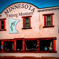
Minnesota Fishing Museum
45.2 km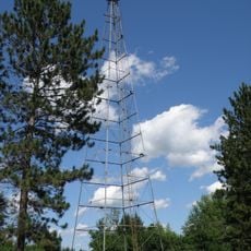
Nimrod Fire Tower
39 km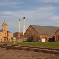
Northern Pacific Railroad Shops Historic District
35.6 kmVisited this place? Tap the stars to rate it and share your experience / photos with the community! Try now! You can cancel it anytime.
Discover hidden gems everywhere you go!
From secret cafés to breathtaking viewpoints, skip the crowded tourist spots and find places that match your style. Our app makes it easy with voice search, smart filtering, route optimization, and insider tips from travelers worldwide. Download now for the complete mobile experience.

A unique approach to discovering new places❞
— Le Figaro
All the places worth exploring❞
— France Info
A tailor-made excursion in just a few clicks❞
— 20 Minutes