
Lower Burrell, city in Westmoreland County, Pennsylvania, United States
Location: Westmoreland County
Inception: 1852
Website: http://www.cityoflowerburrell.com/
Website: http://cityoflowerburrell.com
GPS coordinates: 40.58390,-79.72190
Latest update: June 30, 2025 01:16
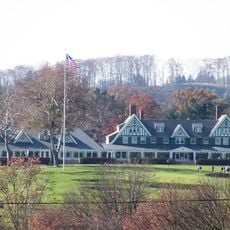
Oakmont Country Club
11 km
Allegheny Islands State Park
10.5 km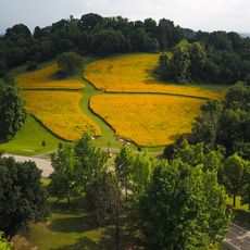
Boyce Park
13.3 km
Rachel Carson Trail
8.9 km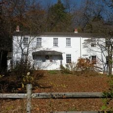
Rachel Carson Homestead
6.7 km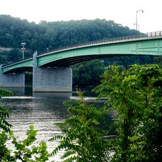
Jonathon Hulton Bridge
12.3 km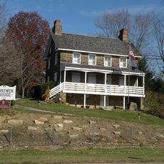
Burtner House
5.3 km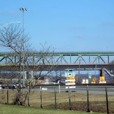
Allegheny River Turnpike Bridge
9.9 km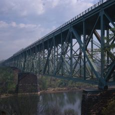
Bessemer & Lake Erie Railroad Bridge
9.8 km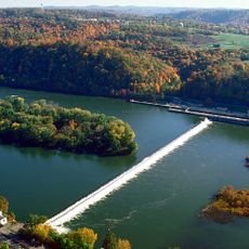
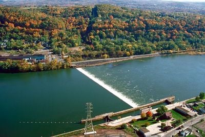
Allegheny River Lock and Dam No. 3
9.4 km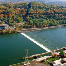
Allegheny River Lock and Dam No. 4
3.4 km
Harrison Hills Park
7.5 km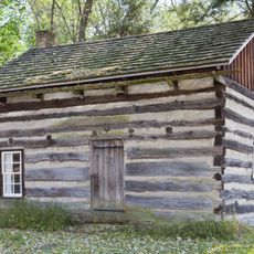
Drake Log Cabin
13.1 km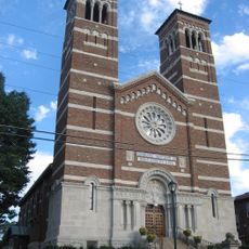
St. Gertrude Roman Catholic Church
13.1 km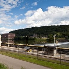
Allegheny River Lock and Dam No. 5
12.3 km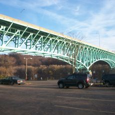
George D. Stuart Bridge
3.2 km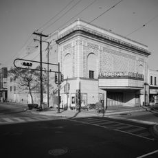
New Kensington Downtown Historic District
4.2 km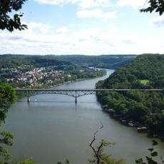
Donald R. Lobaugh Bridge
9.8 km
Pennsalt Historic District
3.4 km
Valley Sports Complex
1.5 km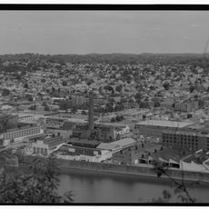
New Kensington Production Works Historic District
4.6 km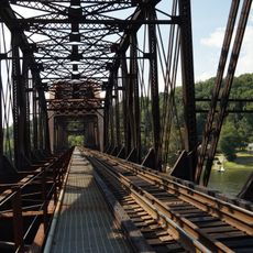
Freeport Rail Bridge
11.3 km
Dr. Thomas R. Kerr House and Office
12.5 km
Vandergrift Historic District
13.7 km
John Walter Farmstead
11.9 km
Byerly House
4.7 km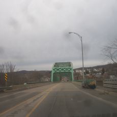
Leechburg Bridge
10.6 km
Logans Ferry Powder Works Historic District
6.3 kmReviews
Visited this place? Tap the stars to rate it and share your experience / photos with the community! Try now! You can cancel it anytime.
Discover hidden gems everywhere you go!
From secret cafés to breathtaking viewpoints, skip the crowded tourist spots and find places that match your style. Our app makes it easy with voice search, smart filtering, route optimization, and insider tips from travelers worldwide. Download now for the complete mobile experience.

A unique approach to discovering new places❞
— Le Figaro
All the places worth exploring❞
— France Info
A tailor-made excursion in just a few clicks❞
— 20 Minutes