Manistique, city in Michigan, United States
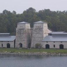
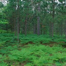
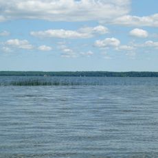
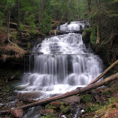
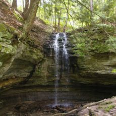
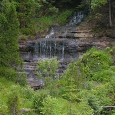
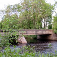
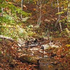
Manistique is a small town on the shores of Lake Michigan in Schoolcraft County, Michigan, surrounded by forests and water with public parks and walking trails. The town has a historic downtown area with shops and restaurants, while the Manistique River flows through the area offering boating and scenic walks.
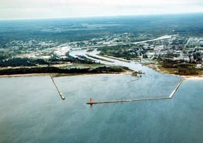
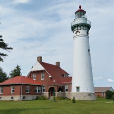
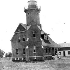
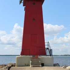
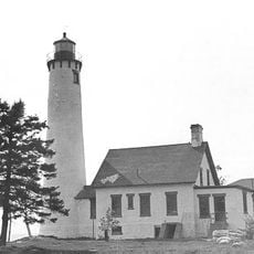
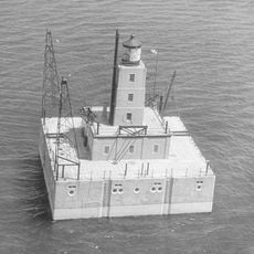
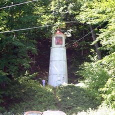
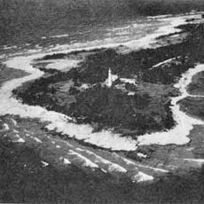
Manistique grew in the 1800s as a logging settlement when timber industry workers arrived to harvest the region's forests, shaping the town's early development. Lighthouses along the coast were built to guide ships carrying resources from the area, marking the town's connection to maritime trade and commerce.
The name Manistique comes from a Native American word referring to small fish, showing how the town has always been tied to water and fishing traditions. These connections remain visible today as residents and visitors gather at the waterfront to fish, boat, and enjoy the lakeside way of life.
The small downtown is easy to explore on foot with shops, restaurants, and parks within walking distance of each other. Access to lakes, hiking trails, and natural areas is straightforward, and the town makes a good base for day trips to nearby attractions like Kitch-iti-kipi Spring or Indian Lake State Park.
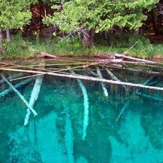
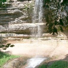
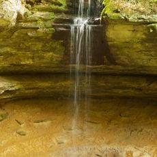
Kitch-iti-kipi, also called Big Spring, is Michigan's largest natural spring where clear water rushes from underground fissures at a steady temperature. Visitors can observe the water's constant flow and gentle sound, which gives this hidden natural spot its peaceful character.
The community of curious travelers
AroundUs brings together thousands of curated places, local tips, and hidden gems, enriched daily by 60,000 contributors worldwide.