Seney National Wildlife Refuge, Wildlife refuge in Schoolcraft County, Michigan, United States.
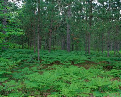
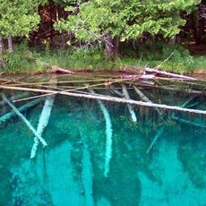
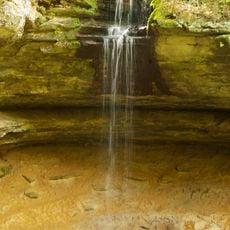
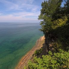
Seney National Wildlife Refuge is a protected area of wetlands, forests, and waterways in northern Michigan. It contains diverse habitats where thousands of animals live and breed throughout the year.
The area was once a vast swamp that people tried to drain in the early 1900s for farming. When those efforts failed, the land became a protected refuge in 1935.
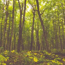
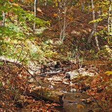
The refuge is home to black bears, moose, and numerous bird species that visitors can observe while walking along marked trails. The seasonal movement of animals through the landscape shapes how people experience and connect with this place.
The best time to visit is between May and October, when roads are open and wildlife sightings are frequent. A car is handy since you can drive through the refuge, but walking trails are also available.
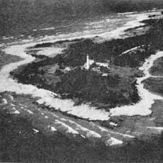
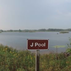
The Strangmoor Bog features a rare patterned bog ecosystem with distinctive mounds of peat and open water channels. This arrangement formed through natural processes and represents a seldom-seen landscape type in this region.
Location: Michigan
Operator: United States Fish and Wildlife Service
Address: Refuge Entrance Road
Opening Hours: sunrise-sunset
Website: https://fws.gov/refuge/seney
GPS coordinates: 46.25000,-86.10000
Latest update: December 6, 2025 17:40
Michigan holds a wide array of natural and historical sites across its two peninsulas. The shoreline runs for hundreds of miles along the Great Lakes, showing sand beaches, rocky cliffs, and dune formations. In the north, dense forests, waterfalls, and rock formations shaped by erosion dominate the landscape. Lighthouses from the 19th century mark key points along the waterways. Historical sites document the region's development, from military posts to industrial monuments. Visitors can explore places like Pictured Rocks, where colored sandstone cliffs rise directly above the water, or Sleeping Bear Dunes, where sand piles up to 450 feet (137 meters) high. Mackinac Bridge connects the two peninsulas with a span of roughly 5 miles (8 kilometers). At Hartwick Pines State Park, pine trees stand several centuries old. Tahquamenon Falls ranks among the larger waterfalls east of the Mississippi. On Mackinac Island, Fort Mackinac dates to the 18th century, while the Heidelberg Project in Detroit presents contemporary art in an urban setting. This collection presents both natural and human-made sites across a region that stretches over both of Michigan's peninsulas.
Palms Book State Park
34.5 km
Grand Island East Channel Light
46.3 km
Munising Falls
44.4 km
Seul Choix Light
39.4 km
Miners Falls
41.5 km
Indian Lake State Park
38.5 km
Wagner Falls Scenic Site
44.7 km
Wagner Falls
45.3 km
Manistique East Breakwater Light
35.8 km
Bridalveil Falls
43.5 km
Tannery Falls
44.5 km
Munising Front Range Light
46.9 km
Alger Falls
45 km
Manistique Pumping Station
34 km
Memorial Falls
44.6 km
Beaver Basin Wilderness
38.7 km
Schoolcraft Furnace Site
44.6 km
Lobb House
46.4 km
Ekdahl–Goudreau Site
39.7 km
Chapel Rock
42.2 km
Luce County Sheriff's House and Jail
46.4 km
Newberry State Bank Historical Marker
46.9 km
Jail and Sheriff's Residence Historical Marker
46.4 km
Pictured Rocks
43.4 km
Tahquamenon Area Public Library
46.7 km
Sherman Park
46.3 km
Luce County Government Building
46.5 km
J Pool
11.1 kmVisited this place? Tap the stars to rate it and share your experience / photos with the community! Try now! You can cancel it anytime.
Discover hidden gems everywhere you go!
From secret cafés to breathtaking viewpoints, skip the crowded tourist spots and find places that match your style. Our app makes it easy with voice search, smart filtering, route optimization, and insider tips from travelers worldwide. Download now for the complete mobile experience.
A unique approach to discovering new places❞
— Le Figaro
All the places worth exploring❞
— France Info
A tailor-made excursion in just a few clicks❞
— 20 Minutes