Enable Location

We need your location to show you interesting places around you

Discover nearby places

Find interesting locations and hidden gems around you

Precise directions

Get accurate directions and distances to places

Your location is never shared with other users. It's only used when you tap the location button.

Log in to your account

Start exploring — it's free

Trusted by 65,438 travelers worldwide

Continue with Google
Continue with Apple
or

We will send you a code to connect

By continuing, you accept our Terms and Conditions and our Privacy Policy

Check your inbox

We've sent a pincode in your inbox. Please enter the code below.

Freedom's Frontier National Heritage Area
Discussion Reviews Photo
3.1k Popularity

Freedom's Frontier National Heritage Area, National Heritage Area in eastern Kansas, United States.

Freedom's Frontier National Heritage Area is a national heritage area along the Kansas-Missouri border in the United States, linking historic sites, museums, and landscapes from the frontier era. It covers dozens of counties on both sides of the state line and is supported by a network of local partner organizations.

The heritage area was officially designated in 2006 and focuses on the border conflicts of the 1850s, when Kansas and Missouri stood at the center of violent disputes over slavery. That period, known as Bleeding Kansas, left a deep mark on the region and fed directly into the Civil War.

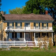
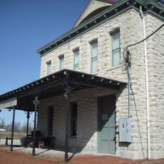
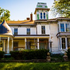
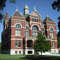
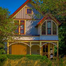
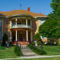
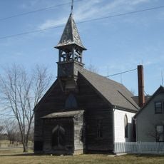
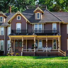
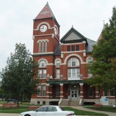
The museums and historic sites along the Kansas-Missouri border tell the stories of Native Americans, settlers, and African American communities who lived and traveled through the region. Many of these places are still open to visitors and carry the weight of those stories in a direct, tangible way.

Because the area covers a very large region on both sides of the Kansas-Missouri border, it helps to plan ahead and check the official website for locations and hours before visiting. Most sites are in smaller towns, so having a car is essential for getting around.

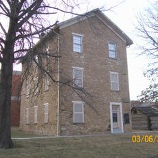
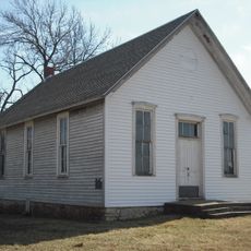
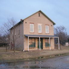
Several documented stops along the Underground Railroad are found within the area, where local networks quietly helped enslaved people reach freedom despite federal law forbidding such assistance. Some of these locations are now open to the public and marked for visitors.

The community of curious travelers

AroundUs brings together thousands of curated places, local tips, and hidden gems, enriched daily by 60,000 contributors worldwide.

Start exploring
Location
Inception
2006
GPS coordinates
38.75000,-95.00000
Latest update
March 3, 2026 13:55
Around this place
Hillsdale Lake
United States of America

Hillsdale Lake

13.4 km
United States of America

Overland Park Arboretum and Botanical Gardens

27.3 km
United States of America

Kansas City Air Route Traffic Control Center

23.2 km
Mahaffie House
United States of America

Mahaffie House

23.4 km
Haskell-Baker Wetlands
United States of America

Haskell-Baker Wetlands

27.5 km
Old Depot Museum
United States of America

Old Depot Museum

27.5 km
Liston Stadium
United States of America

Liston Stadium

15.8 km
Highway 2 Bridge
United States of America

Highway 2 Bridge

26 km
Beni Israel Cemetery
United States of America

Beni Israel Cemetery

22.1 km
Jackson Hotel
United States of America

Jackson Hotel

22.3 km
William Thomas Turner Barn
United States of America

William Thomas Turner Barn

8.3 km
Tauy Jones House
United States of America

Tauy Jones House

21.4 km
I. O. Pickering House
United States of America

I. O. Pickering House

21.3 km
Old Castle Hall
United States of America

Old Castle Hall

16.3 km
Franklin County Courthouse
United States of America

Franklin County Courthouse

27.8 km
Stony Point Evangelical Lutheran Church
United States of America

Stony Point Evangelical Lutheran Church

20.1 km
Albert Ott House
United States of America

Albert Ott House

21.4 km
Franklin R. Lanter House
United States of America

Franklin R. Lanter House

21 km
Vinland Grange Hall
United States of America

Vinland Grange Hall

18.7 km
Vinland Presbyterian Church
United States of America

Vinland Presbyterian Church

18.7 km
Martin Van Buren Parker House
United States of America

Martin Van Buren Parker House

20.9 km
Miami County Courthouse
United States of America

Miami County Courthouse

22.6 km
Mahaffie Stagecoach Stop-Farm
United States of America

Mahaffie Stagecoach Stop-Farm

23.5 km
Carey’s Ford Bridge
United States of America

Carey’s Ford Bridge

25.7 km
Midland Railway Baldwin City Depot
United States of America

Midland Railway Baldwin City Depot

17.7 km
Black Jack Battlefield
United States of America

Black Jack Battlefield

11.4 km
Creamery Bridge
United States of America

Creamery Bridge

27.8 km
Asylum Bridge
United States of America

Asylum Bridge

27.7 km
Show the full map
Reviews
Share your experience

No review yet

Discussions
Start a discussion...

No discussion yet

« Freedom's Frontier National Heritage Area - National Heritage Area in eastern Kansas, United States » is provided by Around Us (aroundus.com). Images and texts are derived from Wikimedia project under a Creative Commons license. You are allowed to copy, distribute, and modify copies of this page, under the conditions set by the license, as long as this note is clearly visible.

Discover hidden gems everywhere you go!

From secret cafés to breathtaking viewpoints, skip the crowded tourist spots and find places that match your style. Our app makes it easy with voice search, smart filtering, route optimization, and insider tips from travelers worldwide. Download now for the complete mobile experience.

Around Us App Screenshot

A unique approach to discovering new places

Le Figaro

All the places worth exploring

France Info

A tailor-made excursion in just a few clicks

20 Minutes

Around Us
Travel Guide & Maps
Download

Send to your phone

QR Code
1

Open the camera app on your mobile.

2

Point at the QR code with your camera. A notification will appear.

3

Tap the notification to open the link.