Chest opened
+${chestReward.xp} XP
Explorer
NOUVEAU ×${chestReward.collectible.quantity}
tapez pour fermer
Chest locked

Open chests in the app

Around Us is built for your phone — chests unlock when you walk, explore and capture nearby places.

Enable Location

We need your location to show you interesting places around you

Discover nearby places

Find interesting locations and hidden gems around you

Precise directions

Get accurate directions and distances to places

Your location is never shared with other users. It's only used when you tap the location button.

Log in to your account

Start exploring — it's free

Trusted by 72,876 travelers worldwide

Continue with Google
Continue with Apple
or

We will send you a code to connect

By continuing, you accept our Terms and Conditions and our Privacy Policy

Check your inbox

We've sent a pincode in your inbox. Please enter the code below.

Huntington–Ashland metropolitan area
Discussion Reviews Photo
14.2k Popularity

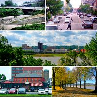
Huntington–Ashland metropolitan area, Metropolitan area across West Virginia, Kentucky, and Ohio, United States.

The Huntington-Ashland area spans seven counties across three states and forms one connected metropolitan region. The area is linked by Interstate 64 and several US highways that tie communities together.

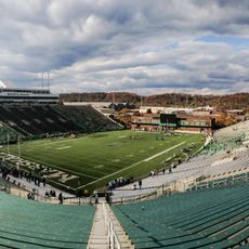
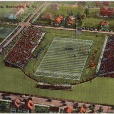
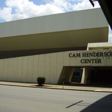
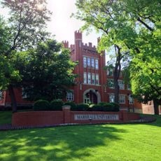
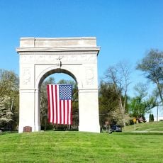
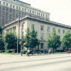
The region grew rapidly in the early 1900s through coal mining and industrial development. The founding of Marshall University shaped Huntington into a center for education and business.

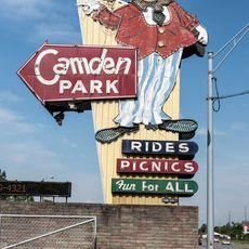
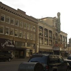
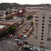
The area shows its Appalachian roots through live music performances and community events that happen throughout the year. Visitors find local artisans and makers keeping traditional crafts alive in neighborhoods and shops.

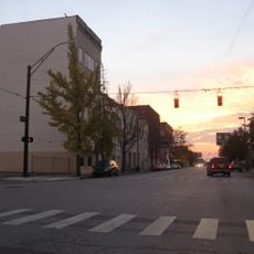
The region is best explored by car, since highways link the counties and provide access to different communities. The landscape shifts between river valleys and hillside areas, so plan routes based on what parts you want to see.

Locals call the region "Kyova," a regional nickname that shows how closely West Virginia, Kentucky, and Ohio connect here. This local name reflects how people think of their neighborhoods despite living in three different states.

The community of curious travelers

AroundUs brings together thousands of curated places, local tips, and hidden gems, enriched daily by 60,000 contributors worldwide.

Start exploring
Location
Location
Location
GPS coordinates
38.41920,-82.44530
Latest update
March 5, 2026 16:38
Around this place
Camden Park
United States of America

Camden Park

1.2 km
Joan C. Edwards Stadium
United States of America

Joan C. Edwards Stadium

2.2 km
Fairfield Stadium
United States of America

Fairfield Stadium

1.6 km
Huntington Museum of Art
United States of America

Huntington Museum of Art

3.1 km
Cam Henderson Center
United States of America

Cam Henderson Center

1.8 km
Keith-Albee Theatre
United States of America

Keith-Albee Theatre

279 m
Chesapeake and Ohio 1308
United States of America

Chesapeake and Ohio 1308

3.2 km
Robert C. Byrd Bridge
United States of America

Robert C. Byrd Bridge

786 m
Old Main
United States of America

Old Main

1.4 km
Old Huntington High School
United States of America

Old Huntington High School

645 m
Douglass Junior and Senior High School
United States of America

Douglass Junior and Senior High School

1.3 km
Ritter Park Historic District
United States of America

Ritter Park Historic District

1.8 km
Cabell County Courthouse
United States of America

Cabell County Courthouse

111 m
Downtown Huntington Historic District
United States of America

Downtown Huntington Historic District

3.5 km
Pink Bridge
United States of America

Pink Bridge

1.4 km
Memorial Arch
United States of America

Memorial Arch

2.1 km
Ohev Sholom Temple
United States of America

Ohev Sholom Temple

906 m
Carnegie Public Library
United States of America

Carnegie Public Library

165 m
Elk River Coal and Lumber Company No. 10
United States of America

Elk River Coal and Lumber Company No. 10

622 m
United States Post Office and Court House
United States of America

United States Post Office and Court House

127 m
Barnett Hospital and Nursing School
United States of America

Barnett Hospital and Nursing School

706 m
Campbell-Hicks House
United States of America

Campbell-Hicks House

539 m
Simms School Building
United States of America

Simms School Building

1.8 km
Mortimer Place Historic District
United States of America

Mortimer Place Historic District

1.2 km
Ricketts House
United States of America

Ricketts House

3.3 km
Prichard House
United States of America

Prichard House

1.2 km
Masonic Temple
United States of America

Masonic Temple

543 m
Johnston-Meek House
United States of America

Johnston-Meek House

905 m
Show the full map
Reviews
Share your experience

No review yet

Discussions
Start a discussion...

No discussion yet

Administrative divisions
« Huntington–Ashland metropolitan area - Metropolitan area across West Virginia, Kentucky, and Ohio, United States » is provided by Around Us (aroundus.com). Images and texts are derived from Wikimedia project under a Creative Commons license. You are allowed to copy, distribute, and modify copies of this page, under the conditions set by the license, as long as this note is clearly visible.

Discover hidden gems everywhere you go!

From secret cafés to breathtaking viewpoints, skip the crowded tourist spots and find places that match your style. Our app makes it easy with voice search, smart filtering, route optimization, and insider tips from travelers worldwide. Download now for the complete mobile experience.

Around Us App Screenshot

A unique approach to discovering new places

Le Figaro

All the places worth exploring

France Info

A tailor-made excursion in just a few clicks

20 Minutes

Around Us
Travel Guide & Maps
Download

Send to your phone

QR Code
1

Open the camera app on your mobile.

2

Point at the QR code with your camera. A notification will appear.

3

Tap the notification to open the link.