Chest opened
+${chestReward.xp} XP
Explorer
NOUVEAU ×${chestReward.collectible.quantity}
tapez pour fermer

See the monuments around you in AR Open chests in the app

Around Us is built for your phone — point your camera at the streets and discover the monuments and places around you in augmented reality. Around Us is built for your phone — chests unlock when you walk, explore and capture nearby places.

•

Enable Location

We need your location to show you interesting places around you

Discover nearby places

Find interesting locations and hidden gems around you

Precise directions

Get accurate directions and distances to places

Your location is never shared with other users. It's only used when you tap the location button.

Inland Waterway

Log in to your account

Start exploring — it's free

Trusted by 94,532 travelers worldwide

Continue with Google
Continue with Apple
or

We will send you a code to connect

By continuing, you accept our Terms and Conditions and our Privacy Policy

Check your inbox

We've sent a pincode in your inbox. Please enter the code below.

Inland Waterway, Water trail in Michigan, United States

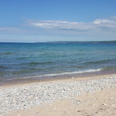
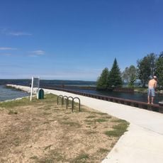
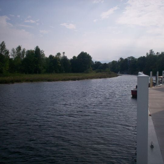
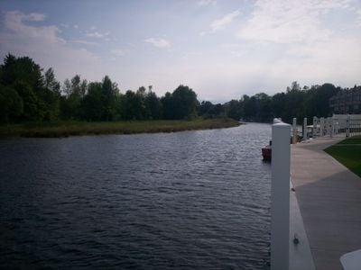
Inland Waterway is a water trail in northern Michigan that links a chain of lakes and rivers through forested country. The route passes small towns and wooded shores, with several access points for boats along the way.

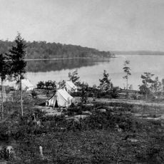
The waterway was used by Native Americans and later by European settlers for travel and trade. In the 19th century, logging operations used the rivers to float timber to sawmills, shaping the development of the area.

Along the route, you pass through small communities where boating and fishing are part of daily life in summer. The waterfronts often have docks and picnic spots where locals gather, giving a sense of how people use the waterway today.

The water trail is best explored by boat, and you can launch from several public access sites along the route. Check water levels and weather before heading out, as conditions can change quickly on the lakes and rivers.

The route includes a section where the river flows through a narrow channel connecting two lakes, a spot often missed by through-boaters. It offers a short detour into a marsh area where you can spot herons and turtles.

The community of curious travelers

AroundUs brings together thousands of curated places, local tips, and hidden gems, enriched daily by 94,532 contributors worldwide.
Start exploring
Location
GPS coordinates
45.46670,-84.66670
Latest update
November 10, 2026 08:26
Around this place
Fort de Buade
United States of America

Fort de Buade

11.8 mi
Petoskey State Park
United States of America

Petoskey State Park

12.5 mi
Burt Lake State Park
United States of America

Burt Lake State Park

5.1 mi
Aloha State Park
United States of America

Aloha State Park

10.5 mi
University of Michigan Biological Station
United States of America

University of Michigan Biological Station

6.9 mi
North Central State Trail
United States of America

North Central State Trail

4.6 mi
Bay View
United States of America

Bay View

14 mi
Old Cheboygan County Courthouse
United States of America

Old Cheboygan County Courthouse

14.9 mi
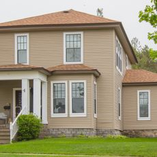
George and Eugene Markle House
United States of America

George and Eugene Markle House

15.1 mi
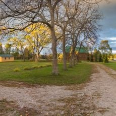
Faunce-McMichael Farm
United States of America

Faunce-McMichael Farm

2.8 mi
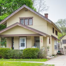
J. B. Allen House
United States of America

J. B. Allen House

15.1 mi
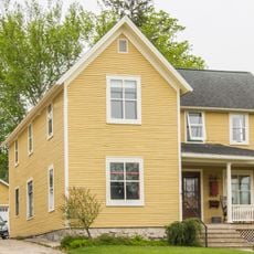
G. W. Olin House
United States of America

G. W. Olin House

15.1 mi
Stout House
United States of America

Stout House

15.3 mi
Devoe Beach
United States of America

Devoe Beach

4.6 mi
United States of America

Emmet County - Skyline Trail - Viewing Platform

14.5 mi
United States of America

Nautical North Family Adventures

15.2 mi
United States of America

Sea Shell City

11.7 mi
United States of America

Giant Sturgeon Statue

5 mi
United States of America

Mural is 100 feet wide and depicts Northern Michigan scenery throughout the seasons.

15.3 mi
United States of America

Scenic viewpoint

3.4 mi
United States of America

Scenic viewpoint

14.1 mi
United States of America

Skyline Trail Viewing Plaform

14.5 mi
United States of America

Cherry Valley Overlook

14.4 mi
United States of America

Crooked Tree Arts Center - Petoskey

15.3 mi
United States of America

Bald Eagle Catching Fish

10.6 mi
United States of America

Shrine of Saint Kateri Tekakwitha

5 mi
United States of America

The Man on the Cross

5 mi
United States of America

Ring of Bright Water II

9.2 mi
Show the full map
Reviews
Share your experience

No review yet

Discussions
Start a discussion...

No discussion yet

« Inland Waterway - Water trail in Michigan, United States » is provided by Around Us (aroundus.com). Images and texts are derived from Wikimedia project under a Creative Commons license. You are allowed to copy, distribute, and modify copies of this page, under the conditions set by the license, as long as this note is clearly visible.

Discover hidden gems everywhere you go!

From secret cafés to breathtaking viewpoints, skip the crowded tourist spots and find places that match your style. Our app makes it easy with voice search, smart filtering, route optimization, and insider tips from travelers worldwide. Download now for the complete mobile experience.

Around Us App Screenshot
❝

A unique approach to discovering new places❞

— Le Figaro

❝

All the places worth exploring❞

— France Info

❝

A tailor-made excursion in just a few clicks❞

— 20 Minutes

Around Us
Travel Guide & Maps
Download

Send to your phone

QR Code
1

Open the camera app on your mobile.

2

Point at the QR code with your camera. A notification will appear.

3

Tap the notification to open the link.