Chest opened
+${chestReward.xp} XP
Explorer
NOUVEAU ×${chestReward.collectible.quantity}
tapez pour fermer
Chest locked

Open chests in the app

Around Us is built for your phone — chests unlock when you walk, explore and capture nearby places.

Enable Location

We need your location to show you interesting places around you

Discover nearby places

Find interesting locations and hidden gems around you

Precise directions

Get accurate directions and distances to places

Your location is never shared with other users. It's only used when you tap the location button.

Log in to your account

Start exploring — it's free

Trusted by 73,059 travelers worldwide

Continue with Google
Continue with Apple
or

We will send you a code to connect

By continuing, you accept our Terms and Conditions and our Privacy Policy

Check your inbox

We've sent a pincode in your inbox. Please enter the code below.

Minnesota's 6th congressional district
Discussion Reviews Photo
41.9k Popularity

Minnesota's 6th congressional district, Congressional district in central Minnesota, United States.

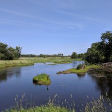
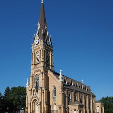
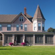
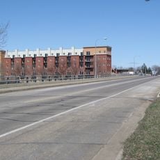
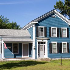
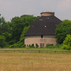
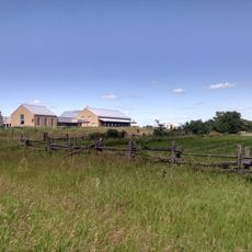
Minnesota's 6th congressional district spans central Minnesota and encompasses Benton, Carver, Sherburne, Stearns, Wright, and Anoka counties. The area combines city centers with rural land, serving both urban and farming populations.

The district was established in 1893 to represent citizens in the northern Twin Cities suburbs and the St. Cloud region. It reflects a long history of political representation in this area.

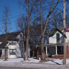
The area blends suburban neighborhoods around Minneapolis with farming communities, creating a diverse population of city professionals and agricultural families. This mix shapes the character of local towns and how people spend their everyday lives.

District offices help residents access federal services and support with local concerns. Regular meetings between elected officials and citizens allow for open conversations about shared issues.

The region is home to a substantial veteran population and is shaped by major employers like Federal Premium, Pan-O-Gold Baking Company, and St. Cloud Hospital. These businesses have long been economic anchors for many families here.

The community of curious travelers

AroundUs brings together thousands of curated places, local tips, and hidden gems, enriched daily by 60,000 contributors worldwide.

Start exploring
Location
GPS coordinates
45.33694,-93.85194
Latest update
December 17, 2025 07:58
Around this place
Sherburne National Wildlife Refuge
United States of America

Sherburne National Wildlife Refuge

20.4 km
The Crossing Church
United States of America

The Crossing Church

23.3 km
Church of St. Michael-Catholic
United States of America

Church of St. Michael-Catholic

20.3 km
Tobias G. Mealey House
United States of America

Tobias G. Mealey House

6.8 km
Rand House
United States of America

Rand House

6.8 km
Hanover Bridge
United States of America

Hanover Bridge

25.3 km
Betty Adkins Bridge
United States of America

Betty Adkins Bridge

23.6 km
Thayer Hotel
United States of America

Thayer Hotel

23 km
Church of St. Mary Help of Christians-Catholic
United States of America

Church of St. Mary Help of Christians-Catholic

28.3 km
Sparre Barn
United States of America

Sparre Barn

30 km
Marysville Swedesburg Lutheran Church
United States of America

Marysville Swedesburg Lutheran Church

25.9 km
Ames-Florida House
United States of America

Ames-Florida House

29.4 km
Fair Haven Flour Mill
United States of America

Fair Haven Flour Mill

28.5 km
Dr. E.P. Hawkins Clinic, Hospital, and House
United States of America

Dr. E.P. Hawkins Clinic, Hospital, and House

30.3 km
Parrish Avenue Bridge
United States of America

Parrish Avenue Bridge

22.8 km
Clearwater Masonic Lodge
United States of America

Clearwater Masonic Lodge

18.1 km
Babcock Memorial Park
United States of America

Babcock Memorial Park

23.7 km
Herbert M. Fox House
United States of America

Herbert M. Fox House

20.8 km
First Congregational Church of Clearwater
United States of America

First Congregational Church of Clearwater

18.1 km
District No. 48 School
United States of America

District No. 48 School

30.4 km
Nicherson–Tarbox House
United States of America

Nicherson–Tarbox House

6.3 km
William W. Webster House
United States of America

William W. Webster House

18.2 km
Cota Round Barns
United States of America

Cota Round Barns

28 km
St. Mark's Episcopal Chapel
United States of America

St. Mark's Episcopal Chapel

20 km
Oliver H. Kelley Farm
United States of America

Oliver H. Kelley Farm

26 km
Sand Dunes State Forest
United States of America

Sand Dunes State Forest

14.6 km
Lake Maria State Park
United States of America

Lake Maria State Park

8.6 km
Oliver H. Kelley Homestead
United States of America

Oliver H. Kelley Homestead

26.1 km
Show the full map
Reviews
Share your experience

No review yet

Discussions
Start a discussion...

No discussion yet

« Minnesota's 6th congressional district - Congressional district in central Minnesota, United States » is provided by Around Us (aroundus.com). Images and texts are derived from Wikimedia project under a Creative Commons license. You are allowed to copy, distribute, and modify copies of this page, under the conditions set by the license, as long as this note is clearly visible.

Discover hidden gems everywhere you go!

From secret cafés to breathtaking viewpoints, skip the crowded tourist spots and find places that match your style. Our app makes it easy with voice search, smart filtering, route optimization, and insider tips from travelers worldwide. Download now for the complete mobile experience.

Around Us App Screenshot

A unique approach to discovering new places

Le Figaro

All the places worth exploring

France Info

A tailor-made excursion in just a few clicks

20 Minutes

Around Us
Travel Guide & Maps
Download

Send to your phone

QR Code
1

Open the camera app on your mobile.

2

Point at the QR code with your camera. A notification will appear.

3

Tap the notification to open the link.