Mount Sugarloaf State Reservation, State park and recreational area in Deerfield, United States.
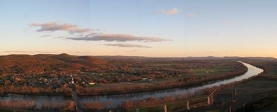
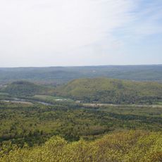
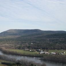
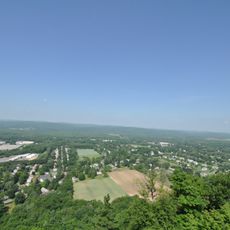
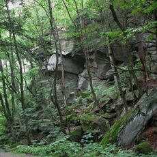
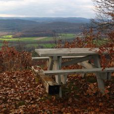
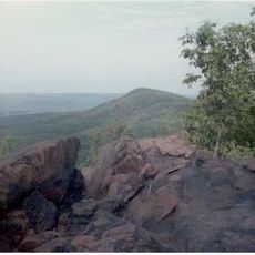
Mount Sugarloaf State Reservation is a natural area in Deerfield with two mountain peaks that rise above the Connecticut River Valley. The park features a scenic road to the summit, trails throughout the grounds, and access to two river islands suitable for paddling and camping activities.
The mountain summits served as strategic observation points for Native American tribes monitoring the river valley. The area later became significant as European settlers established communities and developed commerce along the Connecticut River corridor.
The reservation serves as a place where visitors connect with the river landscape and learn about the local plants and animals through trails and observation areas. People come here to experience the natural surroundings and notice the changing seasons across the valleys and hillsides.
The road to the summit opens seasonally from May through October, making it easy to reach the viewpoints by car. Hiking trails of varying difficulty are open year-round, though spring through fall offers the most pleasant walking conditions.
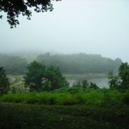
Two river islands within the reservation offer paddlers the chance to camp overnight on islands surrounded by flowing water in the middle of the Connecticut River. This isolated camping experience contrasts sharply with the typical ground-based camping available elsewhere in the park.
The community of curious travelers
AroundUs brings together thousands of curated places, local tips, and hidden gems, enriched daily by 60,000 contributors worldwide.