Enable Location

We need your location to show you interesting places around you

Discover nearby places

Find interesting locations and hidden gems around you

Precise directions

Get accurate directions and distances to places

Your location is never shared with other users. It's only used when you tap the location button.

National Road

Log in to your account

Start exploring — it's free

Trusted by 63,843 travelers worldwide

Continue with Google
Continue with Apple
or

We will send you a code to connect

By continuing, you accept our Terms and Conditions and our Privacy Policy

Check your inbox

We've sent a pincode in your inbox. Please enter the code below.

Discussion Reviews 1 Photos
1.3k Popularity

National Road, Straße in Cambridge, Ohio

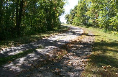
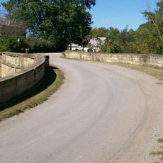
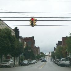
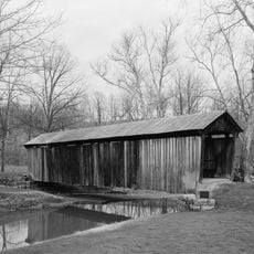
The National Road in Ohio is a historic route listed on the National Register of Historic Places that extends across several states. It runs through rolling hills, farmland, and wooded areas, and many sections still retain their wide, flat original structure.

The route follows paths used for centuries by Native American tribes for trade and travel. In the early 1800s, it became the first federally funded road and played a key role in connecting Ohio's frontier lands to the rest of the country.

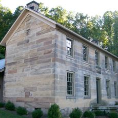
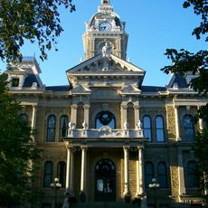
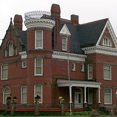
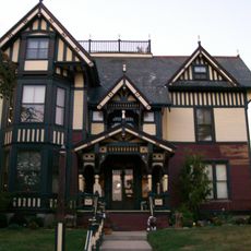
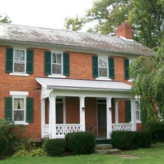
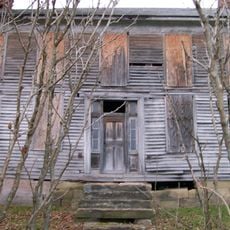
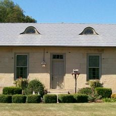
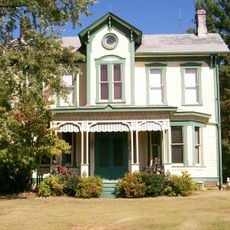
The name reflects its role as the first federally funded road in the country. Walking along it today, you notice small towns and old taverns that grew up around this route, places where travelers once gathered and traded.

Many sections remain in use as local roads, while others are designated as scenic byways. Maps and guides are available through the Ohio National Road Association to help you plan your own exploration.

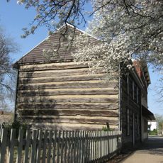
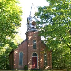
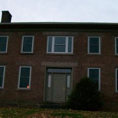
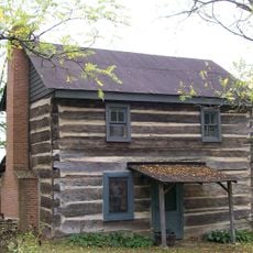
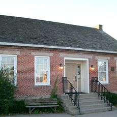
Some sections function as museum corridors where old taverns and shops preserve the appearance of the 1800s. Visitors can explore these places and get a direct sense of how travelers once stopped for rest and provisions.

The community of curious travelers

AroundUs brings together thousands of curated places, local tips, and hidden gems, enriched daily by 60,000 contributors worldwide.

Start exploring
Location
GPS coordinates
40.02694,-81.50250
Latest update
February 9, 2026 07:46
Around this place
Cincinnati Zoo and Botanical Garden
United States of America

Cincinnati Zoo and Botanical Garden

275.9 km
Salt Fork State Park
United States of America

Salt Fork State Park

8.4 km
John and Annie Glenn Museum
United States of America

John and Annie Glenn Museum

20.3 km
Barnesville Petroglyph
United States of America

Barnesville Petroglyph

23.7 km
Kennedy Stone House
United States of America

Kennedy Stone House

11.3 km
S Bridge, National Road
United States of America

S Bridge, National Road

11.1 km
William Rainey Harper Log House
United States of America

William Rainey Harper Log House

20.1 km
Guernsey County Courthouse
United States of America

Guernsey County Courthouse

11.5 km
Belmont County Victorian Mansion Museum
United States of America

Belmont County Victorian Mansion Museum

28.2 km
Barnesville Historic District
United States of America

Barnesville Historic District

28 km
Colonel Joseph Taylor House
United States of America

Colonel Joseph Taylor House

7.7 km
S Bridge II
United States of America

S Bridge II

21.2 km
Bethel Methodist Episcopal Church
United States of America

Bethel Methodist Episcopal Church

15.6 km
Booth Homestead
United States of America

Booth Homestead

21 km
Samuel Danford Farm
United States of America

Samuel Danford Farm

22.9 km
Young-Shaw House
United States of America

Young-Shaw House

25.7 km
Broom-Braden Stone House
United States of America

Broom-Braden Stone House

6.8 km
Salt Creek Covered Bridge
United States of America

Salt Creek Covered Bridge

28.9 km
McCracken-McFarland House
United States of America

McCracken-McFarland House

7.5 km
Broom Building
United States of America

Broom Building

7.6 km
Ralph Hardesty Stone House
United States of America

Ralph Hardesty Stone House

24.9 km
Samuel Harper Stone House
United States of America

Samuel Harper Stone House

18.6 km
Abner Williams Log House
United States of America

Abner Williams Log House

15.1 km
Barnett-Criss House
United States of America

Barnett-Criss House

16.5 km
National Road & Zane Grey Museum
United States of America

National Road & Zane Grey Museum

27.9 km
John Reaves House
United States of America

John Reaves House

28.6 km
Indian Camp Covered Bridge
United States of America

Indian Camp Covered Bridge

15.7 km
Skull Fork Covered Bridge
United States of America

Skull Fork Covered Bridge

26.4 km
Show the full map
Reviews
Share your experience

No review yet

Discussions
Start a discussion...

No discussion yet

« National Road - Straße in Cambridge, Ohio » is provided by Around Us (aroundus.com). Images and texts are derived from Wikimedia project under a Creative Commons license. You are allowed to copy, distribute, and modify copies of this page, under the conditions set by the license, as long as this note is clearly visible.

Discover hidden gems everywhere you go!

From secret cafés to breathtaking viewpoints, skip the crowded tourist spots and find places that match your style. Our app makes it easy with voice search, smart filtering, route optimization, and insider tips from travelers worldwide. Download now for the complete mobile experience.

Around Us App Screenshot

A unique approach to discovering new places

Le Figaro

All the places worth exploring

France Info

A tailor-made excursion in just a few clicks

20 Minutes

Around Us
Travel Guide & Maps
Download

Send to your phone

QR Code
1

Open the camera app on your mobile.

2

Point at the QR code with your camera. A notification will appear.

3

Tap the notification to open the link.