Chest opened
+${chestReward.xp} XP
Explorer
NOUVEAU ×${chestReward.collectible.quantity}
tapez pour fermer
Chest locked

Open chests in the app

Around Us is built for your phone — chests unlock when you walk, explore and capture nearby places.

Enable Location

We need your location to show you interesting places around you

Discover nearby places

Find interesting locations and hidden gems around you

Precise directions

Get accurate directions and distances to places

Your location is never shared with other users. It's only used when you tap the location button.

Log in to your account

Start exploring — it's free

Trusted by 72,890 travelers worldwide

Continue with Google
Continue with Apple
or

We will send you a code to connect

By continuing, you accept our Terms and Conditions and our Privacy Policy

Check your inbox

We've sent a pincode in your inbox. Please enter the code below.

Discussion Reviews Photo
15k Popularity

Norfolk County, Former administrative county in Virginia, United States.

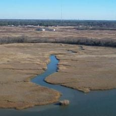
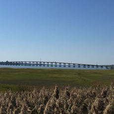
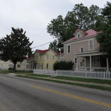
Norfolk County was a former administrative region in eastern Virginia situated between the Elizabeth River and Chesapeake Bay with both coastal and inland areas. The territory encompassed diverse zones that underwent significant boundary changes over time.

Established in 1691, this former county remained an administrative entity until 1963 when it merged with South Norfolk to create the independent city of Chesapeake. Earlier territorial losses occurred as neighboring cities like Norfolk and Portsmouth expanded their boundaries.

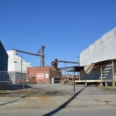
The region maintains connections to maritime traditions through naval operations, educational institutions, and community festivals celebrating coastal heritage.

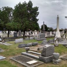
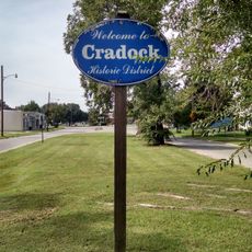
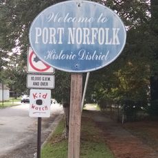
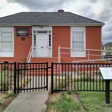
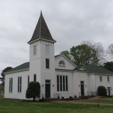
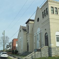
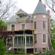
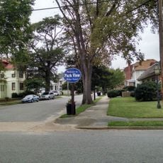
The former region now forms part of Chesapeake city and can be explored through museums and historical markers scattered throughout. Visitors can access waterfront areas and coastal attractions that reflect the territory's heritage.

The area contains Naval Station Norfolk, one of the world's largest and most strategically important military naval facilities. This installation continues to shape the region's character and economic activity today.

The community of curious travelers

AroundUs brings together thousands of curated places, local tips, and hidden gems, enriched daily by 60,000 contributors worldwide.

Start exploring
Location
GPS coordinates
36.77060,-76.46440
Latest update
March 5, 2026 18:17
Around this place
Nansemond National Wildlife Refuge
United States of America

Nansemond National Wildlife Refuge

9.2 km
Kings Highway Bridge
United States of America

Kings Highway Bridge

10.9 km
Cedar Grove Cemetery
United States of America

Cedar Grove Cemetery

15.9 km
Bay Point Farm
United States of America

Bay Point Farm

9.5 km
Nansemond River Bridge
United States of America

Nansemond River Bridge

13.2 km
Cradock Historic District
United States of America

Cradock Historic District

13.5 km
Cedar Hill Cemetery
United States of America

Cedar Hill Cemetery

10.9 km
Riddick House
United States of America

Riddick House

11.2 km
Port Norfolk Historic District
United States of America

Port Norfolk Historic District

14.3 km
Suffolk Historic District
United States of America

Suffolk Historic District

11.3 km
Building at 216 Bank Street
United States of America

Building at 216 Bank Street

11.3 km
Truxtun Historic District
United States of America

Truxtun Historic District

14 km
Portsmouth Community Library
United States of America

Portsmouth Community Library

15.1 km
Sunray Agricultural Historic District
United States of America

Sunray Agricultural Historic District

4.9 km
Chuckatuck Historic District
United States of America

Chuckatuck Historic District

14.4 km
East Radford Historic District
United States of America

East Radford Historic District

15.8 km
Godwin-Knight House
United States of America

Godwin-Knight House

14.3 km
West End Historic District
United States of America

West End Historic District

12.4 km
East Suffolk Complex
United States of America

East Suffolk Complex

10.2 km
Shea Terrace Elementary School
United States of America

Shea Terrace Elementary School

14.8 km
Park View Historic District
United States of America

Park View Historic District

15.8 km
Professional Building
United States of America

Professional Building

11.6 km
Suffolk Peanut Company
United States of America

Suffolk Peanut Company

12.2 km
Phoenix Bank of Nansemond
United States of America

Phoenix Bank of Nansemond

11.3 km
Fort Nelson Chapter of the Daughters of the American Revolution Chapter House
United States of America

Fort Nelson Chapter of the Daughters of the American Revolution Chapter House

11.3 km
Driver Historic District
United States of America

Driver Historic District

6.9 km
Splash Park
United States of America

Splash Park

15.1 km
Nansemond River Light
United States of America

Nansemond River Light

15.8 km
Show the full map
Reviews
Share your experience

No review yet

Discussions
Start a discussion...

No discussion yet

« Norfolk County - Former administrative county in Virginia, United States » is provided by Around Us (aroundus.com). Images and texts are derived from Wikimedia project under a Creative Commons license. You are allowed to copy, distribute, and modify copies of this page, under the conditions set by the license, as long as this note is clearly visible.

Discover hidden gems everywhere you go!

From secret cafés to breathtaking viewpoints, skip the crowded tourist spots and find places that match your style. Our app makes it easy with voice search, smart filtering, route optimization, and insider tips from travelers worldwide. Download now for the complete mobile experience.

Around Us App Screenshot

A unique approach to discovering new places

Le Figaro

All the places worth exploring

France Info

A tailor-made excursion in just a few clicks

20 Minutes

Around Us
Travel Guide & Maps
Download

Send to your phone

QR Code
1

Open the camera app on your mobile.

2

Point at the QR code with your camera. A notification will appear.

3

Tap the notification to open the link.