Enable Location

We need your location to show you interesting places around you

Discover nearby places

Find interesting locations and hidden gems around you

Precise directions

Get accurate directions and distances to places

Your location is never shared with other users. It's only used when you tap the location button.

Philadelphia Badlands

Log in to your account

Start exploring — it's free

Trusted by 68,287 travelers worldwide

Continue with Google
Continue with Apple
or

We will send you a code to connect

By continuing, you accept our Terms and Conditions and our Privacy Policy

Check your inbox

We've sent a pincode in your inbox. Please enter the code below.

Philadelphia Badlands
Discussion Reviews 1 Photos
72.7k Popularity

Philadelphia Badlands, Urban district in North Philadelphia, United States.

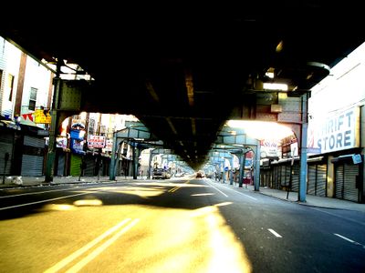
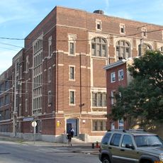
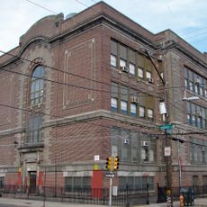
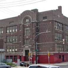
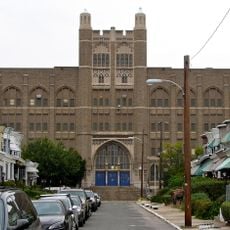
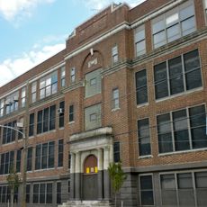
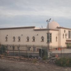
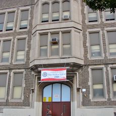
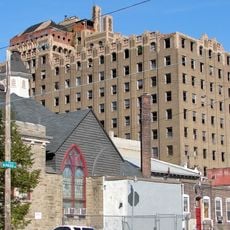
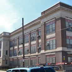
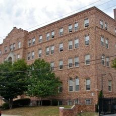
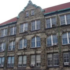
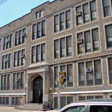
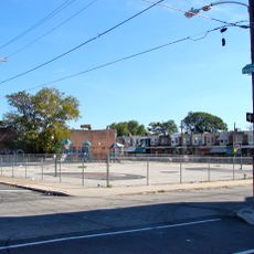
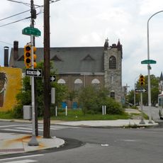
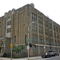
Philadelphia Badlands is a district in North Philadelphia that stretches from Kensington Avenue to Broad Street, where rows of brick houses stand alongside former factory sites and vacant lots. The streets follow a grid pattern through neighborhoods that mix residential blocks with shuttered warehouses and corner stores.

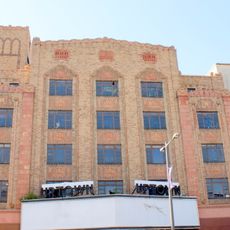
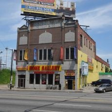
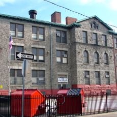
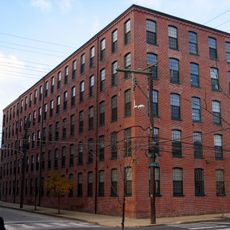
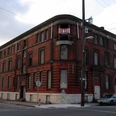
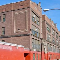
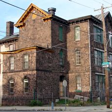
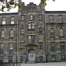
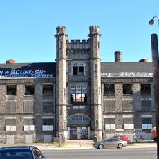
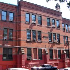
The area grew during the 19th century as an industrial zone where factories and worker housing developed side by side. After manufacturing declined in the 1970s, many buildings were left vacant or converted to other uses.

The neighborhood contains El Centro de Oro, a central point for Puerto Rican residents who represent the largest ethnic group among Black, Irish, and Dominican communities.

Multiple bus routes cross the area and connect it to downtown Philadelphia and other parts of the city. Visitors should travel during daylight hours and plan their route in advance for safety.

The population density reaches about 37,600 people per square mile (14,500 per square kilometer), more than three times the city average. Despite this crowding, inhabited blocks alternate with stretches that appear largely unoccupied.

The community of curious travelers

AroundUs brings together thousands of curated places, local tips, and hidden gems, enriched daily by 60,000 contributors worldwide.

Start exploring
Location
GPS coordinates
39.99600,-75.13600
Latest update
March 5, 2026 21:06
Around this place
Baker Bowl
United States of America

Baker Bowl

1.7 km
Uptown Theatre
United States of America

Uptown Theatre

2 km
McGonigle Hall
United States of America

McGonigle Hall

2.5 km
Joe Frazier's Gym
United States of America

Joe Frazier's Gym

1.5 km
Kensington High School
United States of America

Kensington High School

1.5 km
Fair Hill Burial Ground
United States of America

Fair Hill Burial Ground

890 m
Philip H. Sheridan School
United States of America

Philip H. Sheridan School

1.9 km
Frances E. Willard School
United States of America

Frances E. Willard School

1.6 km
Beatty's Mills Factory Building
United States of America

Beatty's Mills Factory Building

1.4 km
Alexander K. McClure School
United States of America

Alexander K. McClure School

2.1 km
26th District Police and Patrol Station
United States of America

26th District Police and Patrol Station

1.8 km
Elizabeth Duane Gillespie Junior High School
United States of America

Elizabeth Duane Gillespie Junior High School

2.6 km
Bayard Taylor School
United States of America

Bayard Taylor School

1.2 km
Joseph C. Ferguson School
United States of America

Joseph C. Ferguson School

1.8 km
Philly Mosque
United States of America

Philly Mosque

1.3 km
Conwell Middle Magnet School
United States of America

Conwell Middle Magnet School

1.8 km
National Bank of North Philadelphia
United States of America

National Bank of North Philadelphia

1.9 km
Memphis Street Academy
United States of America

Memphis Street Academy

2.3 km
St. Joseph's House for Homeless Industrious Boys
United States of America

St. Joseph's House for Homeless Industrious Boys

1.8 km
Thomas Powers School
United States of America

Thomas Powers School

1.6 km
Richmond School
United States of America

Richmond School

2.6 km
Richardson L. Wright School
United States of America

Richardson L. Wright School

1.5 km
Northern National Bank
United States of America

Northern National Bank

1.3 km
David Farragut School
United States of America

David Farragut School

913 m
Simon Muhr Work Training School
United States of America

Simon Muhr Work Training School

1.2 km
Northeast Manual Training School
United States of America

Northeast Manual Training School

786 m
William Adamson School
United States of America

William Adamson School

609 m
James Elverson, Jr. School
United States of America

James Elverson, Jr. School

2 km
Show the full map
Reviews
Share your experience

No review yet

Discussions
Start a discussion...

No discussion yet

« Philadelphia Badlands - Urban district in North Philadelphia, United States » is provided by Around Us (aroundus.com). Images and texts are derived from Wikimedia project under a Creative Commons license. You are allowed to copy, distribute, and modify copies of this page, under the conditions set by the license, as long as this note is clearly visible.

Discover hidden gems everywhere you go!

From secret cafés to breathtaking viewpoints, skip the crowded tourist spots and find places that match your style. Our app makes it easy with voice search, smart filtering, route optimization, and insider tips from travelers worldwide. Download now for the complete mobile experience.

Around Us App Screenshot

A unique approach to discovering new places

Le Figaro

All the places worth exploring

France Info

A tailor-made excursion in just a few clicks

20 Minutes

Around Us
Travel Guide & Maps
Download

Send to your phone

QR Code
1

Open the camera app on your mobile.

2

Point at the QR code with your camera. A notification will appear.

3

Tap the notification to open the link.