Pine Knob, Mountain summit in Blair County, Pennsylvania, US
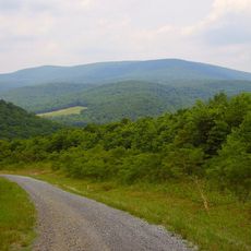
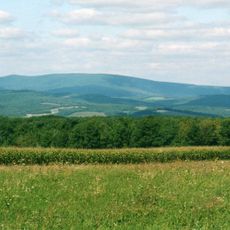
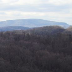
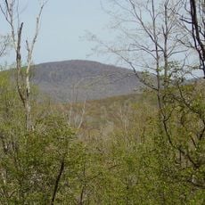
Pine Knob is a mountain summit in the Allegheny Mountains within Blair County, rising to about 2,700 feet above sea level. It sits connected to nearby Ritchey Knob through a natural saddle formation, part of a ridge system containing several other peaks across the area.
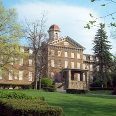
The settlement at the base of this peak was originally known as Fredericksburg before being renamed Ski Gap, reflecting the geographical significance of the surrounding mountains. The name change shows how the area's mountain identity became central to local recognition.
Pine Knob represents a significant geographical feature within Blair County's mountain system, forming part of the broader Allegheny Mountains landscape.
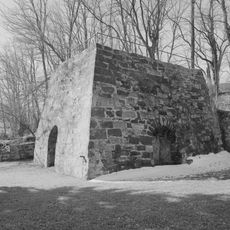
The peak remains difficult to reach without established hiking trails or road access, keeping its natural and wild character intact. Visitors should come prepared for a remote mountain setting with minimal human development.
Despite its elevation of about 2,700 feet, this peak functions as a satellite summit to the larger Blue Knob and is overshadowed by several neighboring peaks including Schaefer Head and Round Knob. Its position within this ridge system makes it an interesting geographical oddity for mountain explorers.
The community of curious travelers
AroundUs brings together thousands of curated places, local tips, and hidden gems, enriched daily by 60,000 contributors worldwide.